


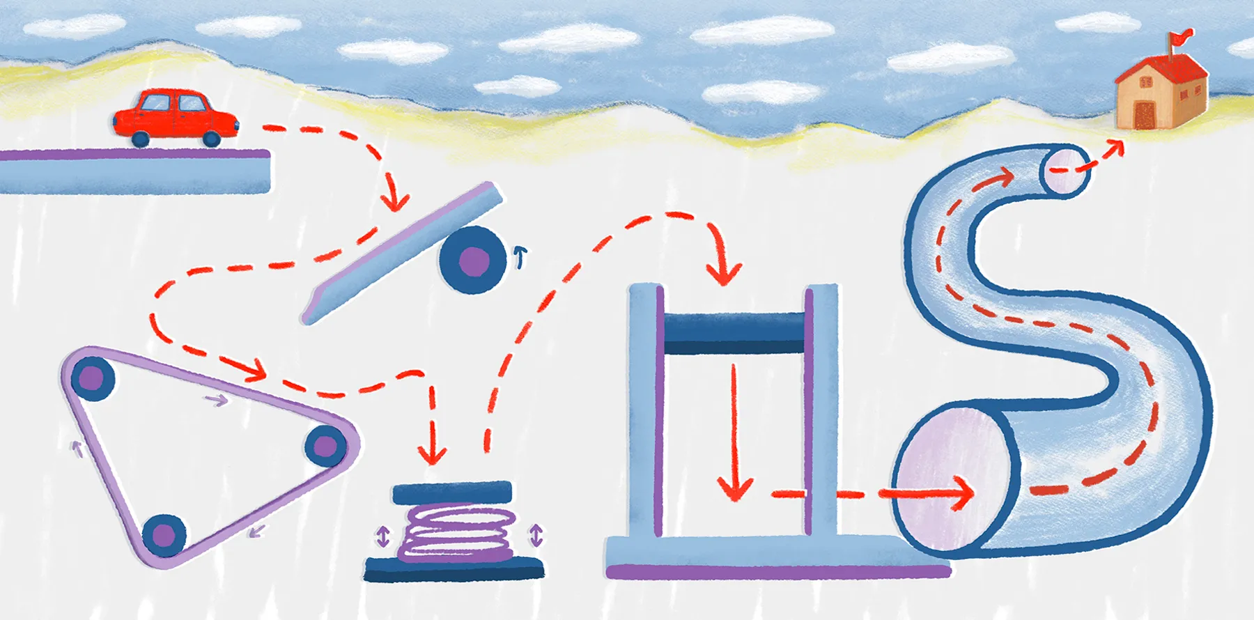
What is OpenStreetMap used for? Understanding how community-powered mapping works
If you’ve ever followed a hiking trail on your phone or searched for a cafe, there’s a good chance you used OpenStreetMap (OSM). Built and maintained by a global community, OpenStreetMap is a collaborative online platform where contributors worldwide add and edit streets, buildings, and other geospatial data.
OSM’s community-powered model has produced one of the most detailed and dynamic mapping databases available today. Organizations and individuals use the OSM API for everything from geocoding to logistics planning.
Let’s take a closer look at what OSM is used for, how it works, and why more people are relying on its enterprise-grade mapping solutions.
What is OpenStreetMap?
OSM is a global, open-source mapping project with a mission to create a free, editable map of the world. Unlike proprietary platforms, such as Google Maps and Apple Maps, there are no commercial licenses restricting access to OSM’s data. Instead, it operates under the Open Database License (ODbL), which allows users to freely share and adapt information as long as they credit the source and keep the data open.
Here’s a look at the differences between OSM vs. Google Maps and Apple Maps:
OpenStreetMap:
- Community-driven, open-source project
- Provides collaborative map data
- Flexible, free data license
- Deep customization and offline use
Google Maps and Apple Maps:
- Proprietary, commercially-backed service
- Restricted data access
- API costs and usage limits
- Comprehensive, integrated features
Millions of people contribute to OSM every day, updating data across roads, buildings, and other points of interest. OSM’s community-focused approach keeps the platform current and highly detailed, especially in areas underserved by commercial maps.
How OpenStreetMap works
OSM’s strength comes from its collaborative system. By combining community contributions with validation tools and open access, it maintains a reliable and dynamic mapping database that serves hobbyists and enterprise users alike.
Here’s how OSM powers real-world mapping projects.
Data collection
The OpenStreetMap database relies on contributions from global users, who add details based on GPS information, aerial imagery, and local knowledge.
Contributors can mark buildings and annotate points of interest like schools and parks to create detailed layers of geospatial data. OSM supports manual edits via its web interface, as well as automated uploads through tools compatible with the OSM API. This collaborative input helps OSM cover areas that often go missing from commercial platforms.
Validation and review
The OSM community reviews edits to ensure accuracy and consistency. Experienced mappers use automated tools and manual checks to correct mistakes and resolve conflicts. This peer-reviewed process strengthens the quality of the OSM database and supports reliable geocoding.
Open data access
Thanks to the ODbL, all OSM data is freely available. Users can access data via the OSM API or download bulk extracts for integration into apps and navigation tools. This open-access model supports offline use and lets users take advantage of detailed geospatial data without the limits of closed-source software.
Why OpenStreetMap matters for enterprises
Unlike proprietary platforms, OSM provides unmatched flexibility for businesses. With its open-source model, companies can integrate OSM services directly through its API or download data for internal use. Teams can build custom maps, routing engines, and geocoding tools without having to rely on proprietary services.
While OpenStreetMap has plenty of advantages, its transparency, cost-efficiency, and control are definite standouts. With OSM, enterprises can see exactly how geospatial data is collected and maintained. This visibility improves trust in the database and supports compliance with internal auditing standards.
What’s more, OSM users avoid restrictive licenses and subscription fees found with most proprietary platforms. Not only does this reduce costs, but businesses retain control over how they use and modify the data. And because every change in OSM is traceable, the platform is a strong choice for regulated industries and global teams.
OSM also plays a large role in driving innovation and collaboration. Its community-led model means contributors from all over the world work together on mapping projects, share insights, and develop new tools without waiting for vendor updates. As a result, the database remains current and adaptable to emerging needs.
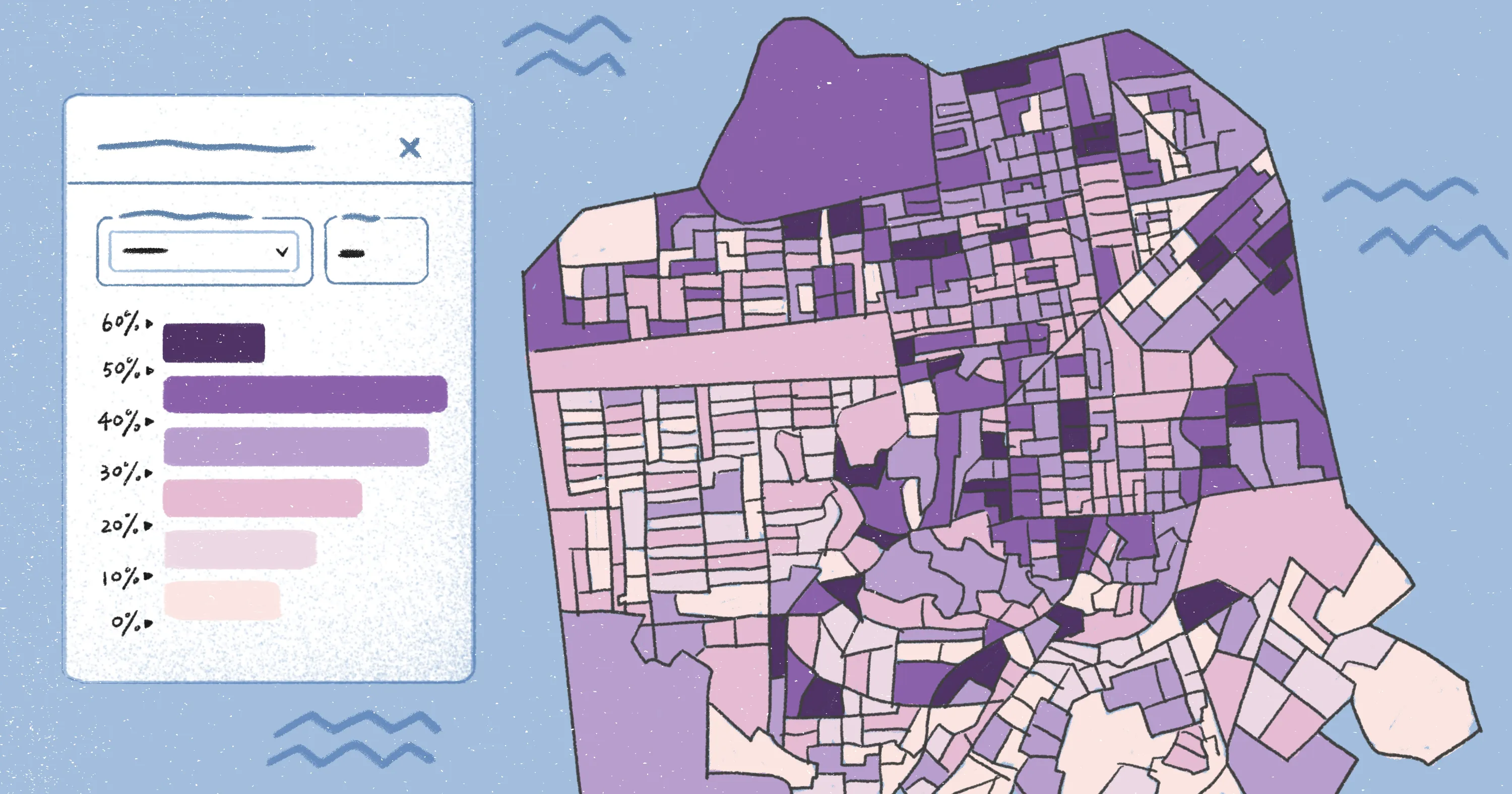
Platforms like Felt take this a step further by helping teams visualize and integrate OSM data right in the browser. With Felt, organizations can fast-track project timelines and improve decision-making at every level.
Visualize OpenStreetMap data seamlessly with Felt
Felt makes it easy for teams of any size to work with OSM and other open-source geospatial data without the need for specialized GIS software. Whether you’re building internal dashboards or creating public-facing maps, Felt removes the barriers to using OSM data in real-world workflows.
Teams can import OSM data into Felt in several ways. You can download information from tools like Overpass Turbo and upload it directly to the platform. You also have the option to add OSM basemaps using raster tile URLs, and you can even import vector tiles for deeper customization. Many of Felt’s built-in library layers are OSM-sourced, giving users instant access to features like editable roads and land use.
With AI-native tools, real-time collaboration, and fast browser-based mapping, Felt transforms open data into actionable insights. If you want to unlock the full potential of the OpenStreetMap API and bring geocoding into your workflows, Felt offers a fast and flexible solution to help you integrate and customize open data at scale.
FAQ
How accurate is OpenStreetMap compared to Google Maps?
OSM is highly accurate in areas where active contributors update the data. While Google Maps has more uniform coverage, OSM offers detailed local information like walking paths, bike lanes, and small businesses thanks to its community-driven platform.
Can OpenStreetMap be used for commercial projects?
OSM is open-source and available under the Open Database License (ODbL), which allows commercial use so long as you credit the source and share any derived data under the same license. Many businesses, from startups to large enterprises, use OSM data for apps, logistics, and mapping tools without paying licensing fees.
How can organizations integrate OSM data into their workflows?
Organizations can use the OSM API, download bulk extracts, or use third-party software like Felt to visualize and collaborate on maps. Felt makes it easy to incorporate geospatial data into internal dashboards and customer-facing applications without using proprietary tools.
Compare Felt using AI


.webp)
