SUMMARY
Wind direction site analysis helps planners understand prevailing airflow patterns and how they affect building design, ventilation, and safety across a site.
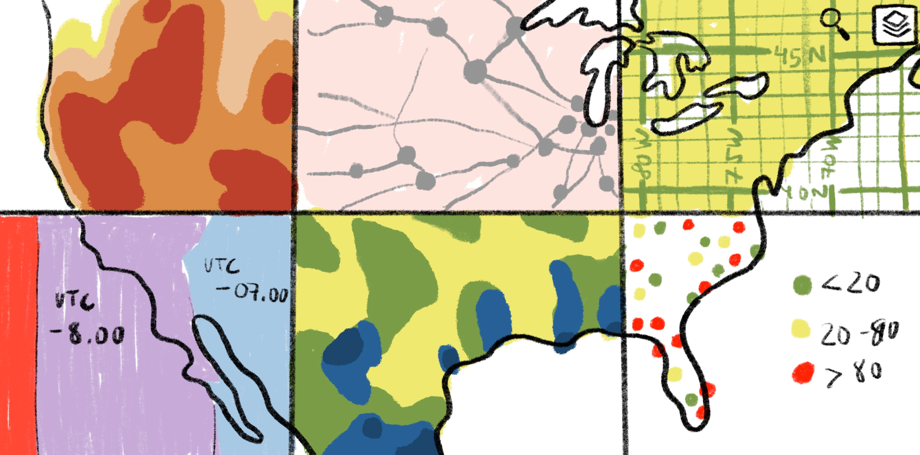
Analysts study airflow using meteorological data, wind rose diagrams, simulations such as wind tunnel testing, and spatial visualization tools to understand how wind behaves across a site.
Turning results into a wind map or interactive visualization makes airflow patterns easier to interpret and apply to architecture, urban planning, and environmental design.
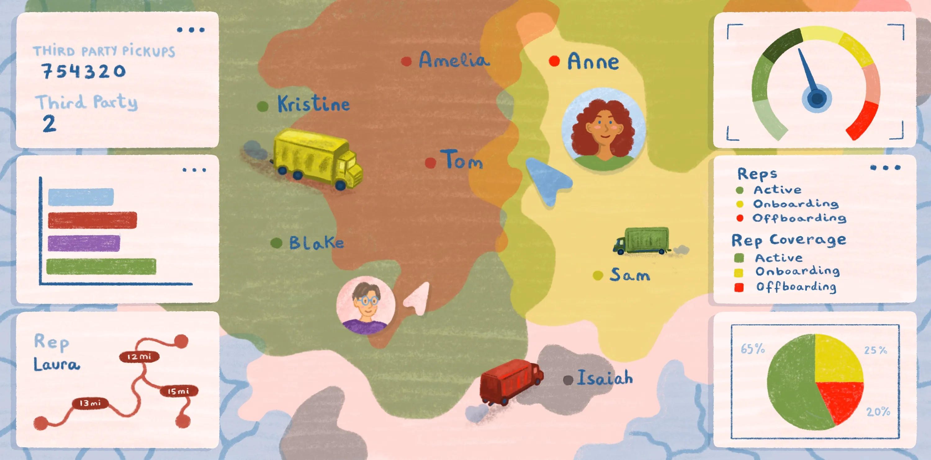
Platforms like Felt simplify wind analysis workflows by letting teams upload site data, layer datasets, test design scenarios, and share findings in a single browser-based workspace
Understanding wind direction site analysis: Key concepts and applications
Wind direction site analysis gives you a sense of prevailing winds and their impact on an area. When you know details about wind direction and speed, you can take steps to improve outdoor spaces, harness wind power, and flag problems early on.
A clear wind map supports architects and engineers in making informed decisions about ventilation, transmission, and safety. Let’s explore the ins and outs of wind analysis and its applications in planning and design.
What is wind direction and site analysis, and why do they matter?
Wind direction describes the origin of airflow. A northerly wind means it flows from north to south, while a westerly wind blows from west to east. Meteorologists use anemometers and other sensors to measure wind speed and direction and visualize weather patterns.
Wind constantly responds to pressure differences, temperature changes, and larger weather systems. But it also interacts with the landscape as it travels and can change speed or direction according to the terrain. For example, hills tend to speed up airflow, while dense development can block or redirect it.
Site analysis examines a location’s natural resources and man-made features. It helps us better understand specific areas and guides development decisions. Analysts study the effects of sun, slope, drainage — and wind. They combine data from local weather station records and wind roses with computer simulations like computational fluid dynamics (CFD) to map wind direction.
Wind maps help engineers and city planners design energy-efficient buildings that withstand changing weather conditions and help keep pedestrians safe. In urban planning, architects analyze wind maps to decide where to place exhaust vents or outdoor seating, ensuring comfort and safety.
Meteorology also uses wind data in weather forecasts for aviation and shipping. Pilots rely on wind direction to plan safe routes, while ports use forecasts to schedule vessel arrivals.
Types of wind analysis and when to use each
Different wind analyses target different goals. The right choice depends on your project priorities and site conditions.
Wind comfort
Wind comfort analysis looks at how airflow affects people at ground level. It pinpoints areas where prevailing winds make walking or cycling more challenging for pedestrians.
Designers can use this field data to optimize safety in city plazas, sidewalks, and public parks. Architects rely on wind comfort analysis in urban areas to guide building placement and design entrances. Insights from the analysis can reduce the impact of wind tunnels created by tall buildings and narrow streets.
Wind loading
Wind loading analysis examines how a structure responds to wind forces. It identifies vulnerable structural elements and ensures projects meet all safety codes.
Engineers calculate pressures on walls, roofs, and windows to prevent damage or failure. Wind maps and CFD simulations help them visualize how forces act on roofs and other structural elements. Their findings guide bridge and building designs so the architecture resists swaying or lifting under strong wind speeds.
Pollution control and natural ventilation
Some wind studies focus on airflow and air quality inside and around buildings. Tracking how wind carries pollutants or brings in fresh air helps designers improve natural ventilation and limit exposure to harmful particles.
This analysis supports healthier indoor and outdoor environments. Wind roses and GIS data guide placement of vents and exhaust in hospitals, ensuring airflow carries harmful particles away from patient areas. Architects also use wind maps to design classrooms with natural ventilation, reducing reliance on mechanical systems and improving indoor air quality.
How to perform a wind direction site analysis
Here’s the process for conducting wind direction analysis at your own location.
Research and preliminary data collection
Start by collecting basic wind data for your site. Check local weather station records and historical weather patterns to get an idea of prevailing wind directions. You can also use wind roses to compare seasonal variations at a glance or make notes on terrain and surrounding buildings that might influence airflow.
Interpreting a wind rose involves studying how often wind blows from each cardinal direction. If northerly winds dominate in winter, architects can design entrances and vents to minimize drafts. Seasonal visualization ensures building design adapts to shifting meteorological conditions.
Digital analysis and simulation
Next, use CFD software or meteorological wind tunnel models to simulate and track wind speed and direction. You can also use Felt’s cloud-native Web GIS to conduct spatial analysis.
Felt lets you upload your site data and build interactive, customizable maps from the results. You can study airflow patterns and test different design scenarios, all without complicated setup or technical hurdles. This step gives you the insight to make informed design decisions early, saving time and avoiding costly trial-and-error.
Visualize and document findings
Finally, you’ll want to create a wind map to visualize your results. By documenting and visualizing your findings, designers can make decisions that reflect actual wind behavior and address real-world problems.
Felt makes this simple by letting you layer data, add notes, and share insights with your whole team in a single, browser-based workspace.
Use Felt API for analysis and get quick insights
Choosing the right software for wind analysis can completely change how you plan and execute projects. Thanks to Felt, running analyses is faster and easier than ever. Our Web GIS platform simplifies workflows and supports architectural planning. The platform:
- Provides quick analysis tools for efficient workflows.
- Makes results easy to digest and act on.
- Offers powerful data pipelines, map tiles, and geocoding.
Felt gives you a complete picture of airflow patterns, so you can design safer, more comfortable spaces without sacrificing usability. Explore Felt’s capabilities today and take the guesswork out of site planning.
FAQ
What is the meaning of northwest wind?
Meteorologists and weather tools report wind based on its cardinal direction. So a northwest (NW) wind comes from the northwest and moves toward the southeast.
What is GIS data for wind?
GIS data shows wind patterns, wind speeds, and wind directions across a specific site or region. Planners and engineers use this data to inform decisions about building placement and urban design.
GIS supports countless other applications, including renewable energy. By mapping wind frequency and direction, planners can identify areas suitable for wind power transmission.
Can Google Maps show wind direction?
No, Google Maps doesn’t display wind direction. If you want to see airflow in Google Maps, you’ll have to overlay wind layers with third-party apps or pull data from local weather stations.
Compare Felt using AI