.jpg)
GPS tracking data: Benefits, types, and industry applications
Field teams capture location data to understand what’s happening on the ground. The faster that information becomes available to the right people, the sooner they can make decisions. When teams receive those updates as GPS data, they have a clear, real-time record of field activity without relying on manual notes.
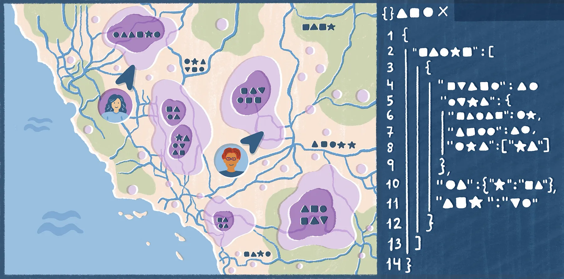
But GPS tracking systems work best with a system that monitors and coordinates map-based work, like a geographic information system (GIS). A location point by itself tells you where something is, but connecting it to a map provides layers of context, like zoning borders and historic records.
Discover how GPS tracking data works, what types field teams use, and how it supports workflows across industries.
What’s a GPS tracking system and data?
A GPS tracking system uses satellites, hardware, and software to find the real-time location of a device. GPS tracking data is the information created when a GPS-enabled device logs where something is at a specific time.
These devices use signals from the global positioning system to calculate position, usually as latitude and longitude. This means data records connect location with movement and field context. For example, in field operations, that record can show where a crew completed an inspection or when a piece of equipment left a site.
In GIS workflows, GPS tracking data puts field activity on a map. While spreadsheets hold static, text-based information, GIS maps let people visualize, layer, and analyze data intuitively. With this interface, organizations can see what’s happening on the ground and make informed decisions, regardless of their technical skills.
How is GPS tracking data collected?
GPS tracking data is collected through three connected parts of the global positioning system. Here’s how GPS trackers work:
- Satellites orbiting the Earth: GPS satellites transmit signals that include their position and the time the signal was sent.
- Ground control stations: These stations monitor GPS satellites, keeping timing and location information accurate.
- User devices: A GPS-enabled device, like a phone or vehicle, receives satellite signals and turns them into location data.
The GPS receivers inside user devices pick up signals from multiple satellites at once. By measuring the distance between the device and those satellites, the receiver uses a process called trilateration to calculate its position. This is where the latitude and longitude intersect at a common point.
GPS tracking happens through active and passive tracking. Active tracking sends location updates in near real time, while passive tracking stores location information on the device, so you can download and review it later. Most modern GPS tracking devices support both modes.
Benefits of GPS tracking data in the field
Here are a few reasons why GPS tracking helps in the field, especially for sites and resources spread across large areas.
Accurate records and audit trails without manual entry
If you’re on a field team, you rarely have time to write down every location or arrival time. But you’ll often need to prove that work happened at a certain time and place for safety checks or environmental inspections.
Data records automatically with GPS tracking, meaning actions are easier to verify later. For example, a construction team tracks site attendance with GPS to maintain audit trails. Manual entry risks this sensitive task on human error, but GPS data ties location records to the work itself.
Full asset visibility across large areas
Businesses often manage assets spread across large areas, like multiple construction zones or agricultural fields. Without a shared map, it’s difficult to monitor cross-site discrepancies, and some teams might even cross the same ground twice.
GPS tracking data shows assets in real-world context. This lets you visually understand where resources are in relation to route plans, crews, and zoning borders.
Standardized data across the entire team
Every crew might record updates differently. Some might describe a location by road name, while others go by site ID. That creates confusion when the data moves into a map or dashboard, resulting in duplicate entries that skew the big picture.
GPS tracking provides a consistent location layer for every record, letting you compare updates across regions. This gives you a full view of your data, so you don’t base plans and decisions off inaccurate details.
Better decisions from spatial patterns
A single GPS record confirms one field event, but multiple records reveal patterns over time. In the long term, you can flag issues visually on a map that might otherwise stay hidden in a spreadsheet. For example, multiple GPS logs show a delivery route took longer than expected. A fleet operator can then assign more vehicles to reduce travel time.
Types of GPS tracking data
GPS tracking captures several kinds of field data, depending on the device and workflow. A basic tracker may only record location and time, while a field app can attach that same location to photos, sensor readings, and inspection results.
Here are the different types of GPS data captured for field operations.
Location coordinates
Coordinates are the most basic form of GPS tracking data. They record a device’s near-exact position on a map and help with quicker navigation.
For example, instead of relying on notes like “near the north entrance” or “by the second gate,” teams can record the coordinates of a damaged pole. Then, a repair crew can reach the location quickly and understand exactly what needs attention.
Timestamps
This data shows when a GPS-enabled device creates a record. The information is basic in isolation, but it provides context to location data, adding “when” to the “where.” For example, a field supervisor can check timestamps to confirm that a contractor visited each inspection site during the assigned service window.
Timestamps also separate old records from current ones. This helps when multiple crews work in the same area, allowing teams to distinguish outdated surveys and reports.
Interval-based and event-based reporting
GPS tracking systems can record data at fixed intervals or when an event occurs. Interval reporting captures updates on schedule — for instance, every few minutes. Event-based reporting receives updates only when something specific happens, like a site arrival.
Consider a construction team. They’d use intervals to follow equipment moving across a large site, then use event-based alerts when the machinery leaves the approved work zone.
Geofencing triggers
Geofencing is a virtual boundary around a real-world area. When a GPS device enters or exits that boundary, the system creates a record or triggers an alert. Teams use this technology to automate logs, monitor assets, and create the above-mentioned event reports.
Custom and sensor data
Custom data adds more field context to a GPS record. In addition to notes, the data can include:
- Form responses
- Photos
- Temperature readings
- Equipment and logistics status
- Asset tracking
- Fleet tracking
For example, you can record the GPS location of a culvert beneath a busy roadway and add photos of debris blocking water flow. Teams then understand exactly what they’re working with, letting them schedule the right removal service immediately.
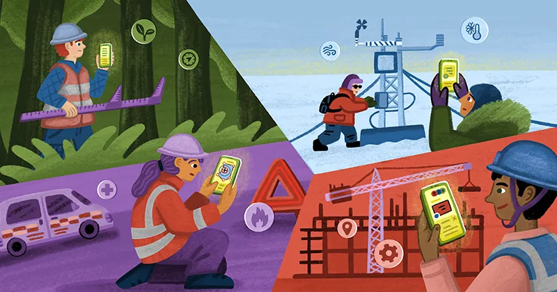
How GPS tracking data is used across industries
Any company that collects field data can use GPS tracking data to link on-site activity to a central map. Here are a few examples across industries where GPS data helps manage resources and infrastructure.
Urban planning
City planners and local governments use GPS tracking to document site visits and inspections in the field. For instance, a map might mark development opportunity areas. Teams can then compare parcel locations, building types, and assessed value to choose the best potential project sites.
Utilities and energy
Energy teams use GPS data to record and monitor infrastructure across large geographies. Maps like this one combine pipeline networks, refinery locations, and oil and gas plays in a single view, helping teams understand asset distribution, identify coverage gaps, and coordinate field activity across regions.
Agriculture
Agriculturalists use GPS tracking data to record work across fields and equipment routes. Field conditions often vary within the same property, so location-based data provides each observation with more context. For example, a GPS-tagged record can show water storage across different soil types.
Turn GPS tracking data into a live map with Felt
GPS tracking tools accurately capture location data, but the workflow often breaks after collection. You need to export, clean, and process field records before they’re map-ready. By then, the data might be outdated.
Felt brings field data collection and mapping into the same workflow. Our Field App captures information in the field and syncs directly to an interactive, shared map. With updates reflected on the map in real time, office teams have instant access to real-world conditions. Field crews can collect data via mobile, and they never have to worry about spotty connections — Felt supports offline work, simply syncing data once you’re back in range.
Once GPS tracking data appears on the map, use Felt AI to dive deeper. It lets you query GPS records in natural language: Filter by inspection status, location, timestamp, or custom attributes, all without writing SQL or rebuilding filters manually.
Try Felt for free to see how live GPS tracking data fits into your location workflows.
Compare Felt using AI


.webp)