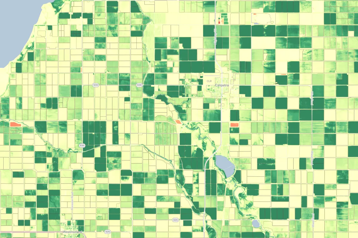
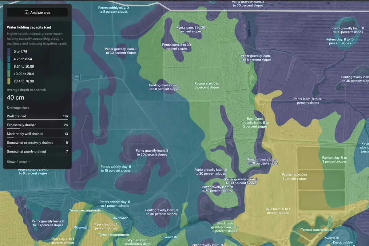
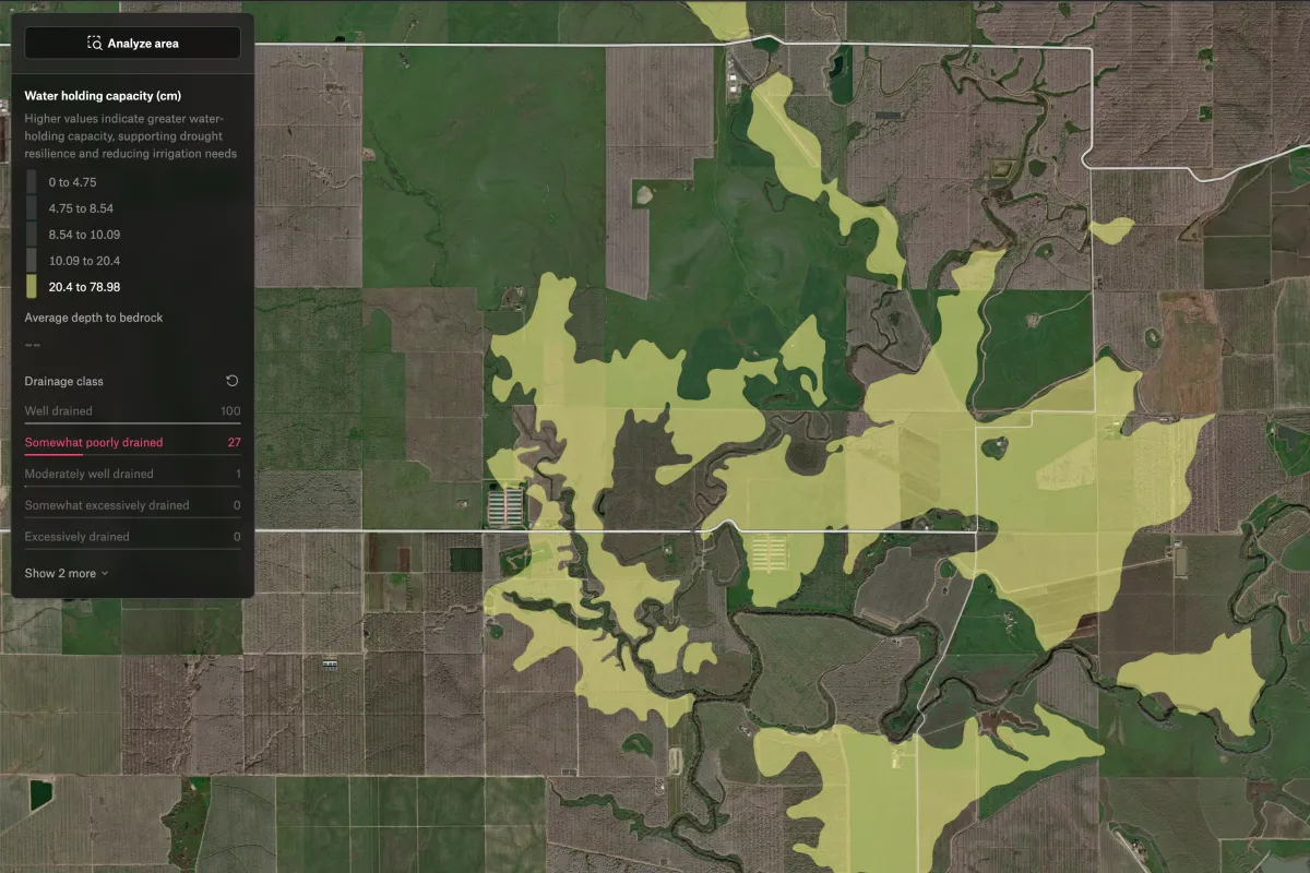
This map shows the variation in available water storage across different soil types, helping identify areas with high or low capacity to retain moisture. Drainage classes and slope information provide additional context to support irrigation planning, crop selection, and land management decisions.

.webp)