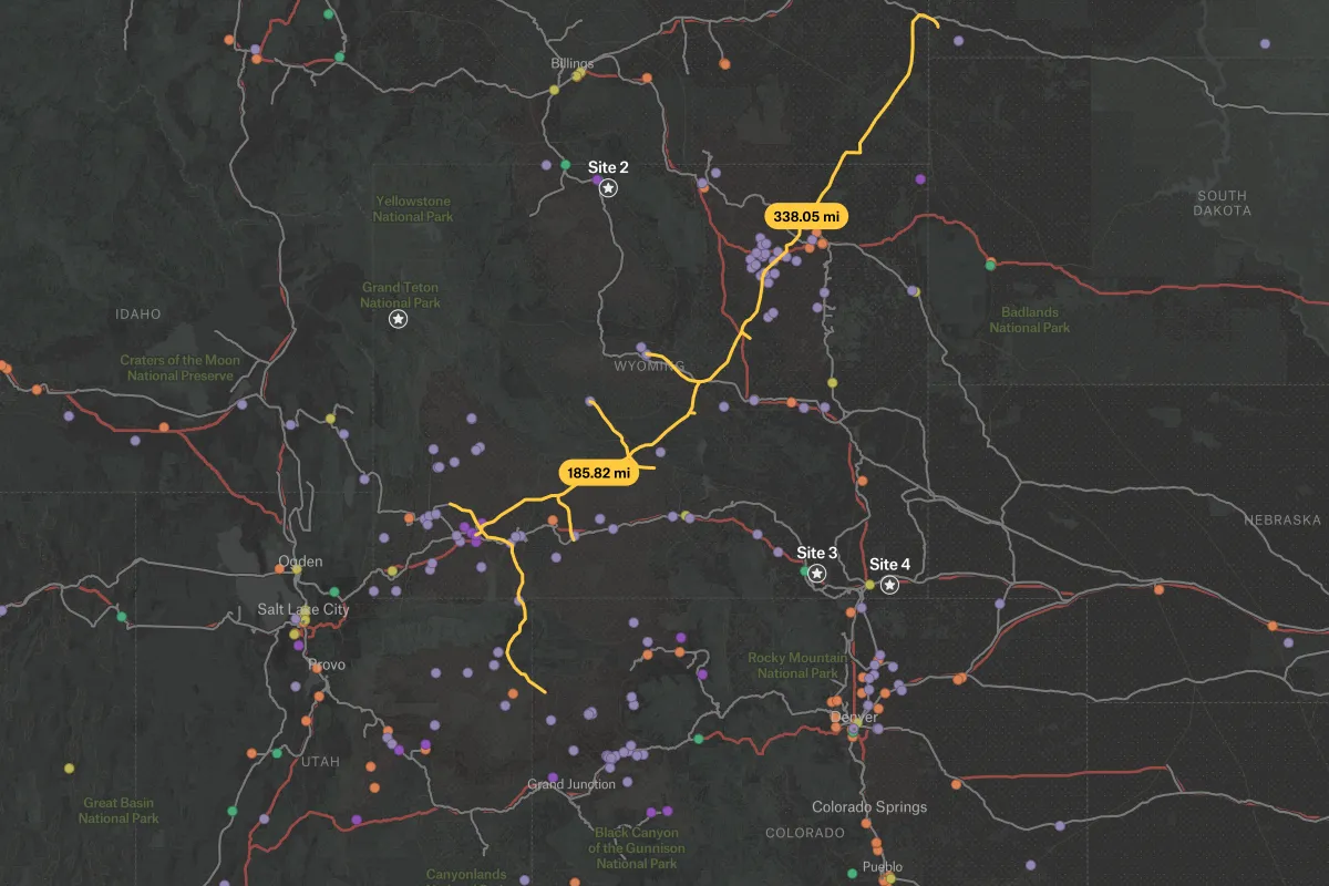
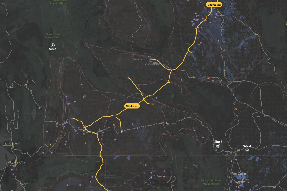
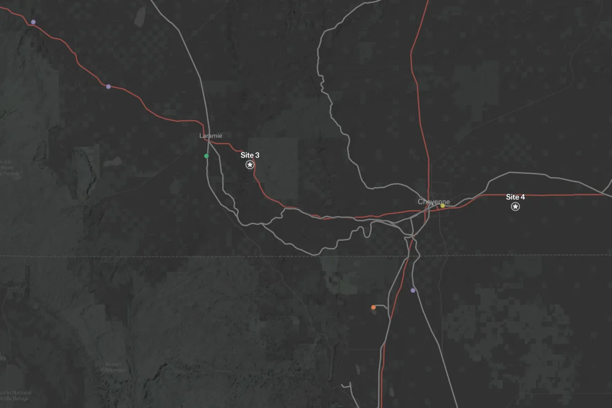
This map combines essential data for carbon capture and storage site selection. It shows existing CO2 pipeline infrastructure, geological storage options, transportation corridors and major emission sources. With Felt's interactive layers you can explore the relationships between potential storage sites, infrastructure networks, and industrial emitters. By integrating these critical factors, this map provides a foundation for identifying and evaluating promising carbon capture project locations. Data sources include the Carbon Storage Open Database from the National Energy Technology Laboratory (NETL).
.webp)