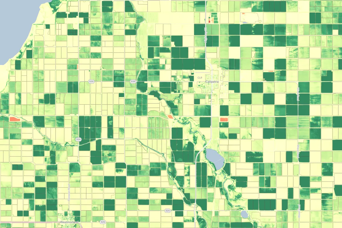
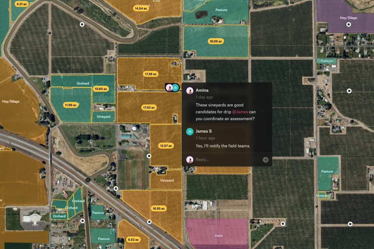
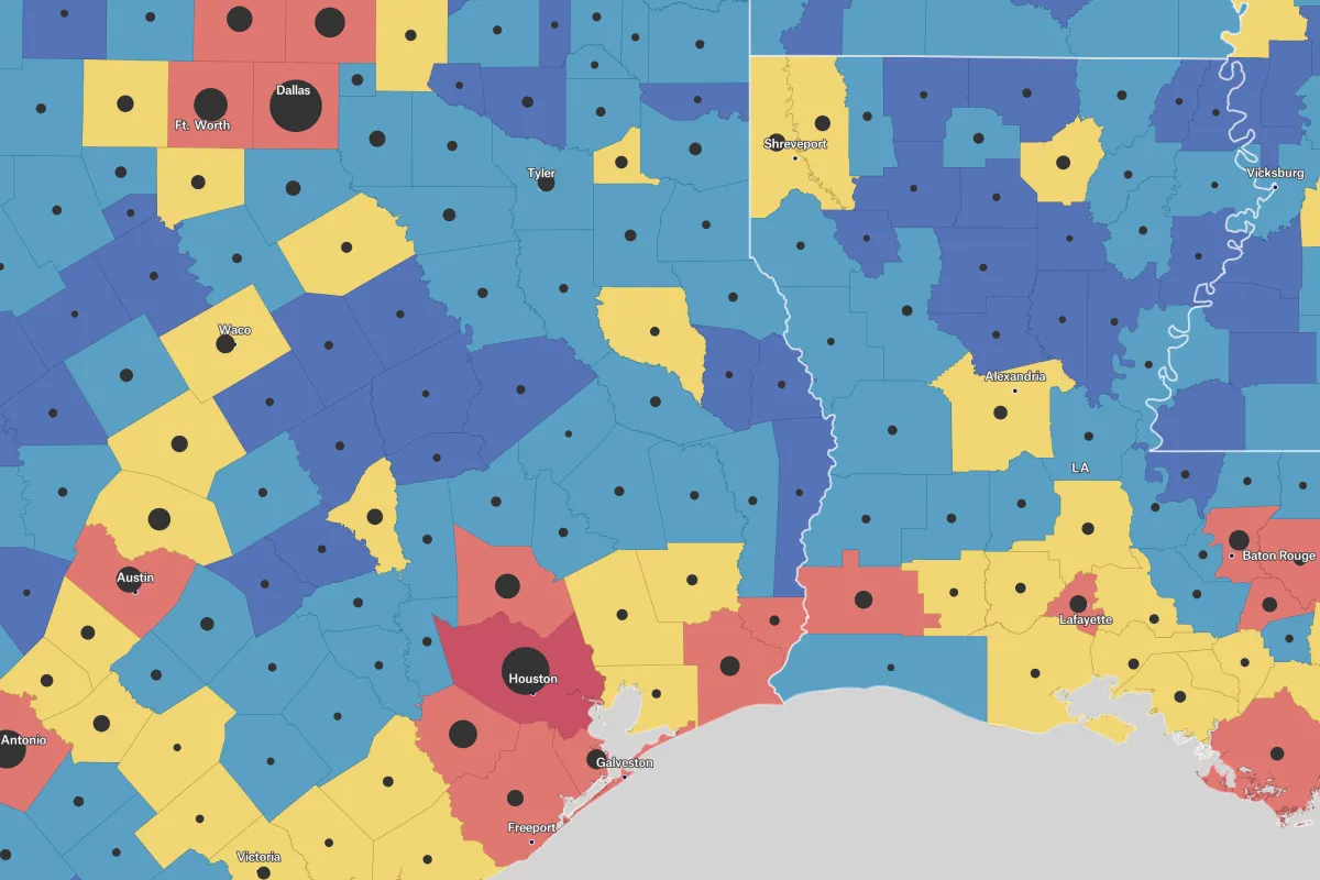
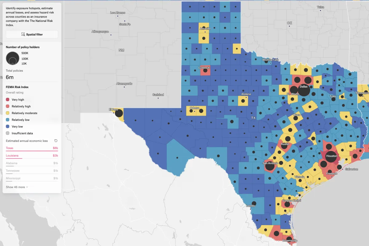
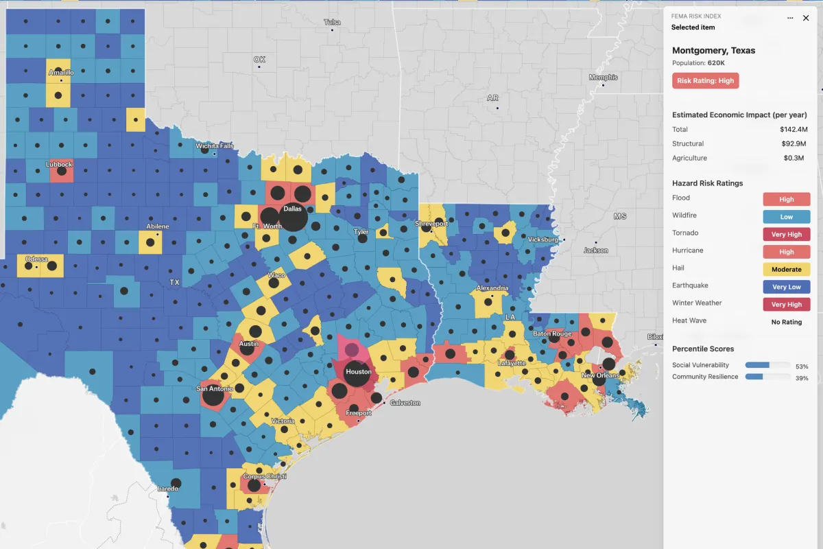
This map supports insurance risk analysis by visualizing natural hazard exposure and estimated annual losses at the county level. Use it to evaluate underwriting risk, identify high-loss regions, and assess structural and agricultural vulnerability alongside community resilience metrics.
.webp)