
How we built a GIS agent on Databricks with Felt’s MCP server
Felt and Databricks connected Agent Bricks, Lakebase, and Felt’s MCP server to build a live GIS agent, from a Slack message to a working map in three minutes.

Map symbology: How to choose effective symbols for web maps
Learn what map symbology is and how it works. Explore common symbol types and discover how enterprise teams design consistent map visualizations.
What’s a shapefile in GIS? Uses, limitations, and enterprise workflows
Learn what a shapefile is, where its governance and scale limits show, and why enterprise GIS teams move beyond static file exchange.
What’s GeoTIFF: How to stream from S3 into a live Felt map
Learn what a GeoTIFF is, how it stores imagery and geographic metadata, and why organizations use it in enterprise GIS workflows.

Using deforestation maps: How to monitor environmental data
Learn how deforestation maps work, where forest loss occurs globally, and how GIS helps monitor environmental change.

What is GeoJSON? Understanding the format behind modern web mapping
Learn what GeoJSON is, how it stores geographic data, and why it’s widely used in web mapping and modern GIS workflows.

The top best CARTO alternatives in 2026 for GIS teams
Looking for a CARTO alternative in 2026? Compare leading GIS platforms, what they do best, and find the right fit for your team’s needs.
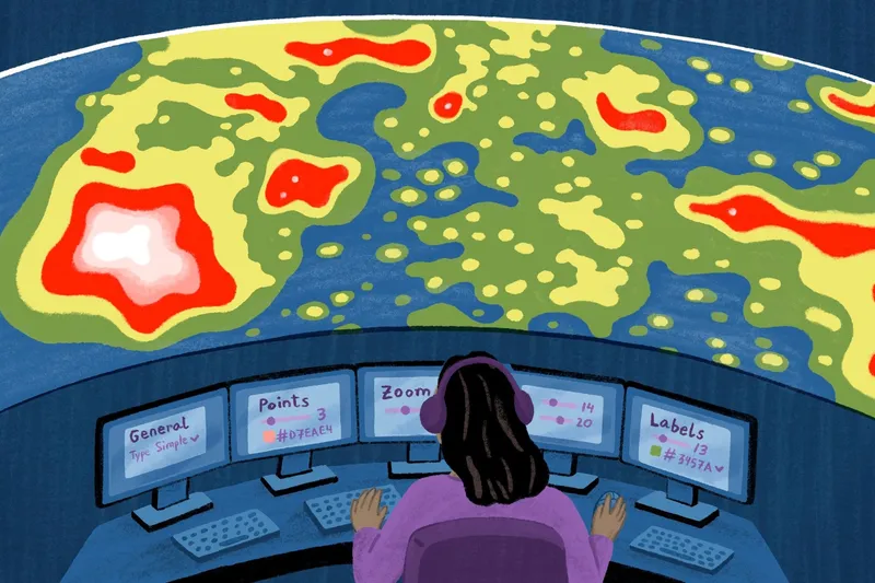
Heat maps with ZIP codes: How to create and visualize geographic trends
Learn how ZIP code heat maps help visualize sales, customer, and market trends so teams can make smarter, data-driven business decisions.
Network analysis in GIS: From routing to operational decision-making
Explore network analysis in GIS, its core methods, real-world applications, and how it helps organizations turn spatial data into smarter enterprise workflows.
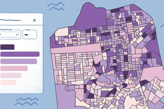
Multi-criteria site selection used to take days. Felt AI makes it instant.
The smarter way to run site selection analysis is also the fastest. Felt AI delivers sophisticated multi-criteria location intelligence, in minutes.

GIS for local government: Use cases, key benefits, and modern workflows
Discover how GIS for local government supports planning, infrastructure, emergency response, transparency, and smarter decisions.
Data layering in GIS: How Felt Improves Modern Mapping
Learn how data layering in GIS works. Explore how Felt’s layers enhance spatial analysis and streamline modern mapping workflows.
Bring your data, see it on the map
Connect a database or drop in a file and see your data live on a map in minutes.