.jpg)
What’s GeoTIFF: How enterprises stream from S3 into a live Felt map
Many geographic datasets, from satellite imagery to terrain models, rely on raster data to represent location-based information across large areas. But for this data to be useful in a geographic information system (GIS), the software needs to understand how each pixel corresponds to real-world coordinates.
GeoTIFFs solve this challenge by storing imagery and geographic data in a single file, which lets GIS platforms easily position, analyze, and manage raster files. This self-contained format is convenient and consistent, making it a go-to resource when working with spatial data.
Let’s take a look at what a GeoTIFF is, how it works, and how it fits into modern enterprise workflows.
What’s a GeoTIFF?
A GeoTIFF is a raster file that acts like a digital map. While a standard image file format (like JPEG) only displays colors, a GeoTIFF uses precise location coordinates and georeferenced data, telling GIS software exactly where each pixel belongs.
Organizations use this file type for various forms of mapping and analysis. Say researchers overlay satellite imagery over a forest map. They export this combination as a GeoTIFF, so environmental teams can download the data as a merged set, getting instant access to the visuals and precise locations of trees and rivers.
GeoTIFF vs. TIFF: What’s the difference?
Both formats store image data, but TIFF only holds high-quality images, while GeoTIFF adds geographic metadata that makes the file usable for spatial analysis. Here’s a quick comparison:
How does a GeoTIFF file format work?
GeoTIFFs contain embedded spatial metadata that tells GIS software where the image belongs on Earth’s surface. This aligns the raster image with other datasets for enhanced, consistent visualization and analysis. Let’s take a closer look.
Image data
Just like a TIFF file, a GeoTIFF stores pixels representing an image. These pixels hold information like color values and elevation measurements, creating a detailed view of the mapped area. GeoTIFFs can capture:
- Satellite imagery for mapping land use and monitoring environmental changes
- Drone imagery and aerial photography for surveys and site analysis
- Elevation models for showing differences in terrain and surface height
Geographic metadata
GeoTIFFs contain metadata that ties pixels to real-world coordinates, providing spatial context. Key elements of this metadata include:
- Coordinate reference systems (CRS) define how locations are measured and positioned on Earth, so GIS tools can place images in the correct spot. GeoTIFFs store this information, often through an EPSG code, to specify the CRS used.
- Map projections convert Earth’s curved surface into a flat map representation. Files typically use systems like the Universal Transverse Mercator to divide the world into regional zones, helping GIS software display and measure the data.
- Pixel location identifies the spatial coordinates of one corner (like the top-left pixel), the exact size of the pixel on the ground (like 0.5 meters per pixel), and the rotation or skew.
- Spatial extent indicates the geographic boundaries of the entire image.
Common GeoTIFF use cases
Many organizations use GeoTIFFs to access highly accurate geographic imagery for analysis. Here’s a glimpse of what that looks like in practice.
Drone mapping and orthomosaics
Drones capture large collections of aerial photos for orthomosaic maps, which are collections of visuals people stitch together like a puzzle to create a whole image. These georeferenced files combine multiple images into a single raster dataset, so teams can measure and inspect areas with precise geographic positioning. Examples include:
- Construction progress: Comparing aerial imagery to track construction development
- Mining operations: Mapping active mines and analyzing surface conditions
- Infrastructure inspections: Recording detailed views of roads, bridges, and pipelines
Satellite imagery
Data providers often distribute satellite imagery as GeoTIFF files to preserve the geographic data needed for analysis. Metadata on map projections and pixel size helps GIS platforms correctly display satellite-based raster data. Examples include:
- Land use mapping: Tracking changes in development, agriculture, and natural areas
- Vegetation analysis: Monitoring plant health and crop conditions across a landscape
- Environmental observations: Following trends in deforestation and climate impacts
Terrain and elevation modeling
GIS professionals rely on GeoTIFFs to store elevation data depicting the Earth’s surface. These files let teams analyze terrain, model environmental factors, and make informed decisions about land use and hazard mitigation. Examples include:
- Digital elevation models: Representing terrain height and land features for mapping and analysis
- Flood risk analysis: Evaluating elevation patterns to identify flood-prone areas
- Renewable energy siting: Assessing terrain for solar and wind energy projects
Enterprise spatial intelligence workflows
Organizations use GeoTIFFs as part of their large-scale geospatial workflows. By combining raster imagery with elevation models, road networks, and property boundaries, businesses can visualize and analyze real-world scenarios. Examples include:
- Site selection: Examining terrain and elevation data to find suitable locations for real estate and retail development
- Environmental conditions: Detecting land-use changes over broad areas
- Infrastructure development: Pairing GeoTIFFs with asset data to measure construction milestones and guide investment planning
Key benefits of GeoTIFF files
GeoTIFFs are a self-sufficient, map-aware raster format that streamlines geospatial analysis. Here are the key benefits for GIS workflows.
Self-contained image file format
A GeoTIFF stores both raster imagery and its relevant geospatial metadata in the same place. Instead of managing multiple files for location information, teams can share just one GeoTIFF with the image, coordinate reference system, and map projection. This simplifies data management and daily work and reduces the risk of mismatching georeferenced data.
Accurate georeferencing
Embedded georeferencing allows GIS software to position imagery without separate coordinate files. Information like CRS, EPSG codes, and map projections align GeoTIFFs with other spatial datasets to encourage consistent, accurate mapping and analysis.
Broad GIS compatibility
Most major GIS platforms and spatial analysis tools read and write GeoTIFF files. This compatibility lets organizations easily exchange data, collaborate across teams, and integrate raster datasets into existing workflows without extensive file conversion.
Support for high-resolution imagery
Unlike other image formats, like JPEG and PNG, GeoTIFFs store detailed, high-quality raster datasets. They’re well-suited for satellite imagery, aerial photography, and drone surveys. GeoTIFFs also support lossless LZW compression, which reduces file sizes while preserving image quality.
Integration with GIS datasets
GeoTIFFs easily combine with other GIS datasets, like vector layers and tabular information. GIS software automatically aligns the information using the GeoTIFF’s metadata, allowing teams to compare and contrast relevant details and create a more complete view of geographic conditions.
Analyze and share GeoTIFF data with Felt
GeoTIFFs deliver the most value when teams can analyze them next to other data and turn the resulting insights into action. Technical and non-technical teammates can do this in Felt.
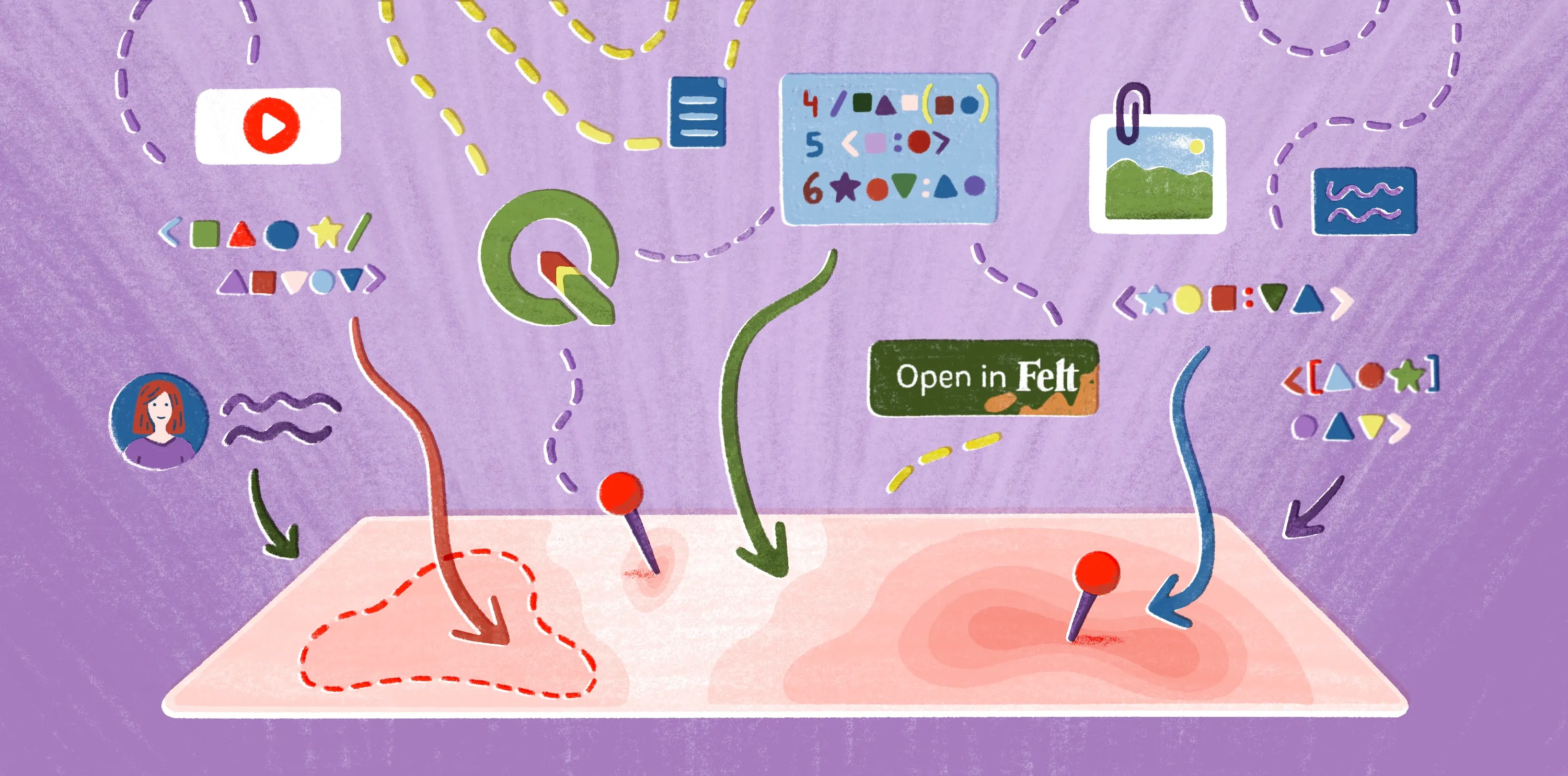
Felt is an enterprise GIS platform built for organizations working with spatial data at scale. With native GeoTIFF support, businesses can stream large raster datasets directly from Amazon S3, Google Cloud Storage, and Azure Blob Storage. With a few clicks, layer these GeoTIFFs with other data and create an interactive map. For example, a team might stream drone-derived GeoTIFF imagery from cloud storage, combine it with vector data, and share the live map with stakeholders.
Felt’s cloud-native architecture and large-scale raster visualization let organizations quickly transform raw imagery into decision-ready data. This platform works with large businesses, providing shared workspaces, governance controls, and organization-wide visibility for simple collaboration in a single platform.
Explore Felt’s pricing plans to start enhancing your geospatial work at scale.
FAQ
What’s the difference between a GeoTIFF and an orthomosaic?
A GeoTIFF file format stores raster imagery alongside its geographic information, while an orthomosaic combines multiple photos into a seamless map layer. Orthomosaics are often stored as GeoTIFFs so GIS platforms can accurately analyze them.
Can GeoTIFF files be stored and analyzed in cloud data platforms?
Teams can store GeoTIFF files in the cloud and access them for analysis and visualization. Cloud-based GIS tools can also stream large datasets straight from these platforms, reducing the need to download and process files locally.
What are the challenges of working with large GeoTIFF files?
High-resolution GeoTIFF files have a few common challenges, including high storage requirements and slow performance when rendering or analyzing data. Traditionally, raster workflows need specialized GIS software since large files demand significant computing power.
Compare Felt using AI