.jpg)
Renewable energy siting: From irradiance screening to grid proximity
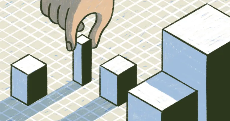
Renewable energy has become a major part of how companies and governments plan for the future. Many groups want to reduce emissions to fight climate change, meet growing electricity demand, and replace aging fossil-fuel infrastructure with cleaner energy generation.
But finding the right location for renewable energy projects isn’t straightforward. Strong solar or consistent wind might make a location attractive, but they’re only one part of site selection. Sites must be easily accessible, comply with regulatory policies, and remain environmentally responsible. Even the best locations lose value if they’re too far from transmission lines or have conflicts with nearby communities.
Viable renewable energy siting finds the overlap between resource quality and buildable land. In this guide, you’ll learn how renewable energy siting works in spatial analysis, the data it uses, and common challenges to consider during site selection.
What is renewable energy siting?
Renewable energy siting is the process of finding suitable locations for renewable energy projects. Before moving into detailed design or construction logistics, the goal is to determine whether a site has the right mix of energy potential and physical conditions for the project. Renewable energy infrastructure should also be accessible and supported by clear regulatory feasibility.
- Solar energy farms: Require open land with low slopes and consistent sunlight exposure. Sites should also have reasonable access to nearby substations.
- Wind farms: Require steady wind speeds and proper turbine spacing. Teams also have to consider placement near residential areas to reduce noise pollution and shadow impacts.
- Hydropower, agrivoltaics, and other renewable projects: Require site-specific conditions such as reliable water flow, workable land for shared agricultural use, and favorable geothermal gradients.
During site selection, mapping shows where opportunities exist and narrows a wide search area into a smaller set of variables. Once you go deeper, spatial analysis helps determine which opportunities can survive real-world limitations.
Benefits of renewable energy siting
Here are the common benefits of renewable energy siting:
- Improved project feasibility and ROI: Siting analysis identifies locations that match high energy potential with practical construction conditions. This supports more accurate estimates for costs like land acquisition.
- Reduced environmental and regulatory risk: Screening for sensitive areas and zoning limitations removes high-risk parcels early. This reduces the chance of costly delays during permitting.
- Faster decision-making and planning timelines: It’s easier to compare site data when it sits in one spatial workflow rather than pulling information from multiple different sources. This makes it easier to explain options and tradeoffs to stakeholders.
- Better resource optimization: Siting helps match each project to the location that best suits it. For example, it helps prioritize solar projects on workable terrain with strong irradiance.
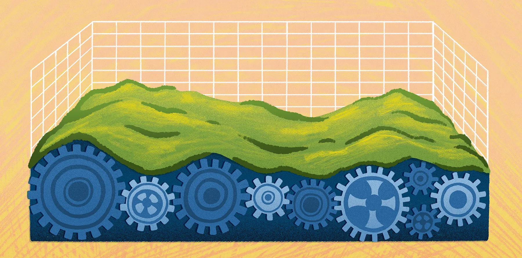
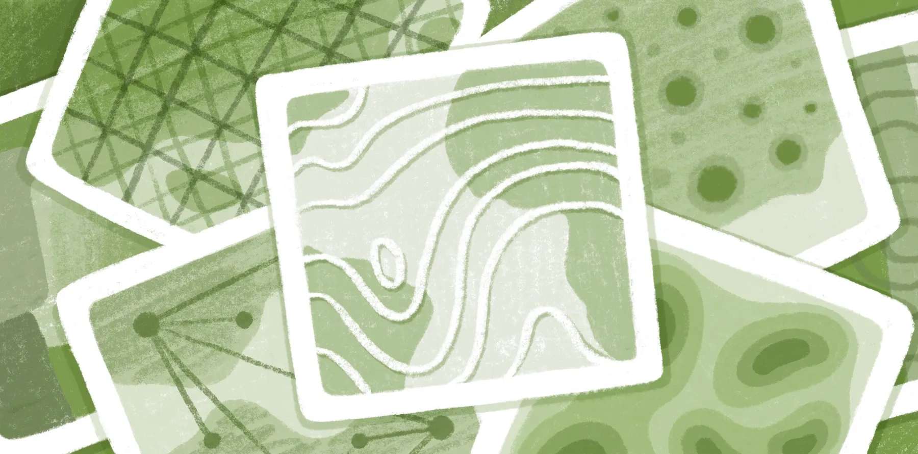
What data is used in renewable energy siting?
Renewable energy siting depends on data that shows where you can realistically build and maintain power generation. A few common data sources include:
- Solar irradiance and wind resource data: Shows where generation potential is strongest. For example, compare average sunlight across sites for solar projects or turbine performance at different heights for wind projects.
- Land use and land cover: Helps understand what already exists on the ground. This helps distinguish agricultural land, urban areas, and load centers.
- Topography: Influences a site’s feasibility based on elevation and terrain. Flat or gently-sloped land tends to be more suitable for placing solar arrays or carrying heavy equipment.
- Grid infrastructure: High-potential sites are difficult to justify if power sources and transmission corridors are unavailable or far away.
- Environmental constraints: Protected areas and extreme weather exposure affect a site’s potential to host a renewable energy project.
- Regulatory and zoning data: Zoning laws and other social factors determine what you can build and how close projects can sit next to surrounding properties.
Combining these data sources makes it easier to measure a site’s suitability in context. This map shows renewable energy infrastructure across the United States and how this kind of spatial view supports siting decisions.
Core spatial analysis methods for renewable energy siting
Spatial analysis tests whether a promising location holds up under real-world conditions. Here are a few spatial-specific methods used for renewable energy siting.
Suitability analysis
Suitability analysis scores locations based on how well they match a project’s needs. You can weigh factors like land use and parcel size — along with how accessible the site is — to find the strongest candidates.
For example, a solar developer might give higher scores to flatter terrain and lower scores for land inside floodplains. The output is usually a ranked shortlist rather than a final decision, but it narrows focus on the most viable locations.
Buffer analysis
Buffer analysis measures the distance around a location. It turns fixed distances into visible, rule-based zones to see what falls inside an acceptable range for site setup. A parcel near existing transmission infrastructure is easier to connect to the grid, while a wind turbine too close to housing areas may trigger community concerns.
Overlay analysis
Overlay analysis combines multiple map layers to show where different conditions overlap. A site that looks strong in a wind dataset may conflict with a nearby protected waterway. Flagging such conflicts proactively saves time and resources while avoiding environmental disruption.
Terrain and slope analysis
Terrain and slope analysis uses elevation data to examine a land’s shape and potential for siting. A solar project on steeper terrain, for example, requires earthwork and higher construction costs. But a nearby parcel with the same sunlight exposure on flat or gently-sloped terrain is easier to build.
How renewable energy siting works in practice
Renewable energy siting usually starts broadly and narrows to a decision. A typical workflow includes five steps:
Common challenges in renewable energy siting
Here are a few challenges to consider when looking at potential renewable energy sites.
Data fragmentation across sources
Renewable energy siting decisions depend on data from multiple sources. When inputs live in different formats and systems, teams waste time organizing and preparing data rather than comparing it to find the best possible location.
Static or outdated datasets
An updated provision or recent field change can alter a site’s suitability for development. Working from outdated datasets can lead to evaluating an older version of the area that’s no longer relevant.
Complex GIS tools and workflows
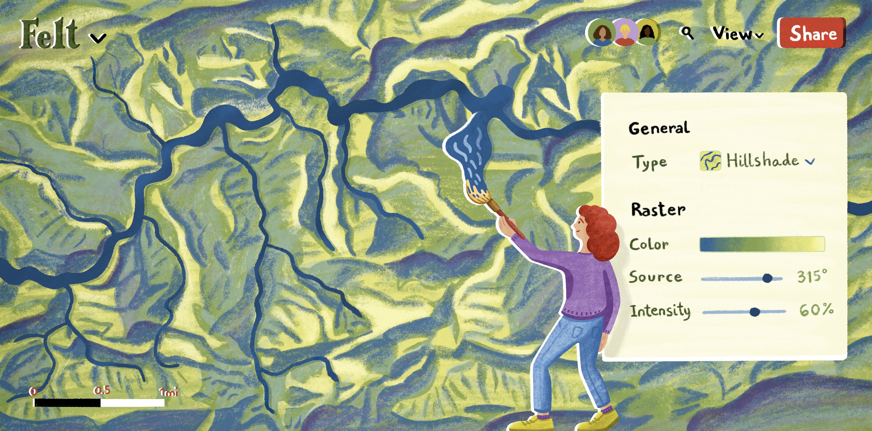
Many siting workflows depend on specialized geographic information systems (GIS) and handoffs between technical and nontechnical parties. A disconnect can impede screening, especially when you need to accelerate multiple test scenarios.
Modern web-based GIS tools bridge the gap. For example, Felt AI lets you build your spatial workflows through plain-language prompts, making it easier for nonspecialists to use without compromising high-level information.
Difficulty validating sites in the field
A site might pass the eye test and look good on paper, but still create problems on the ground. Access roads might be narrower than expected, or drainage may be worse than the map suggests. Other issues won’t become clear until a field visit. Field validation helps confirm assumptions before committing resources, so teams can close the gap between map analysis and on-ground realities.
Map and measure renewable energy sites with Felt
Renewable energy siting is moving away from static files toward cloud-based GIS workflows. Finding data isn’t hard, but better siting decisions come from seeing the full picture as soon as possible, and online dashboards are great for viewing mapwork in one place.
Felt fits into the five-step siting process. You can bring the same data sources covered in this guide into a browser-based workspace and use them to move through each stage of site selection.
Felt also supports the spatial analysis methods that make siting decisions more justifiable. For example, you can evaluate distance-based rules, see conflicts between candidate sites and constraint layers, and use filters to narrow large datasets into viable options.
If you’re managing large-scale renewable energy datasets, Felt AI adds another layer of analysis by generating spatial SQL without writing every query from scratch. You can even build spatial applications with simple prompts.
Explore the energy and utilities map gallery to see how spatial data supports planning in the real world, and use Felt to bring your projects to life.
Compare Felt using AI


.jpg)