When your map outgrows Google My Maps
Google My Maps and Google Earth are free, familiar, and right for a trip plan or a few dozen places. Felt is for maps that run a business, with real data, analysis and a team working on them together.
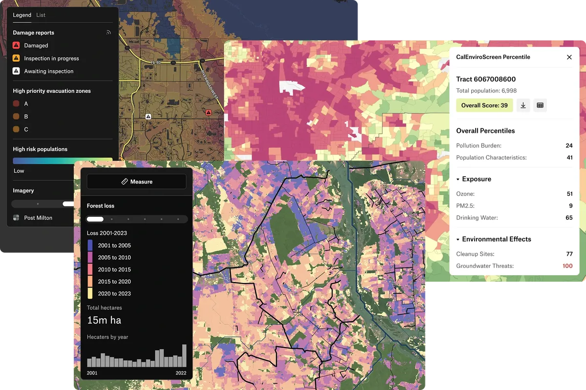
How Felt and Google My Maps compare
| Felt | Google My Maps | |
|---|---|---|
| How much data | No cap on layers or features. Files up to 100 GB. | 10 layers per map, 2,000 items per layer and 10,000 per map. |
| Data you can bring | KML, CSV, Excel, Google Sheets, Shapefile, GeoJSON, GeoTIFF and more. | CSV, KML, GPX, XLSX and Google Sheets, up to 2,000 rows. |
| Styling | Color by any column, with ranges, heatmaps, labels and your own icons. | Colors and icons, one place at a time or by a column. |
| Analysis | Buffers, joins, counts within areas and travel-time areas. | Directions, and distance and area measurements. |
| Imagery and 3D | Satellite basemaps and your own imagery, in 2D. | Google Earth’s 3D globe and imagery. |
| Working together | Edit at the same time and comment on features. | Share edit access through Google Drive. |
| Sharing | Public links, embeds and private maps. | A link or an embed. |
What this page says about Google My Maps was checked against Google’s documentation on October 5, 2026: My Maps layers, My Maps size limits, My Maps imports, Google Earth imports.
Where each one fits
Bring your Google maps with you
Your My Maps and Google Earth work comes with you, and so do your spreadsheets.
- Paste a My Maps share link and every layer comes in. Refresh it when the original changes.
- Upload KML or KMZ from Google Earth. Each folder becomes a layer.
- Link a Google Sheet, and turn on Live to keep the layer current.
- Export any layer as KML to open it in Google Earth.
Stay on Google for quick personal maps
They cost nothing and almost everyone knows them. For a small, simple map, they’re the right tool.
- A trip plan, or a few dozen places to share with friends.
- Exploring a place on Google’s 3D globe and imagery.
- Directions between a handful of stops.
Why teams move from My Maps to Felt
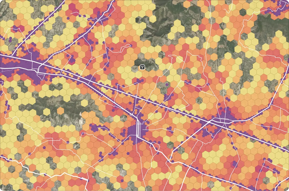
Room for all of your data
Put every site, territory and customer on one map with no layer limit, and it stays quick at millions of features.
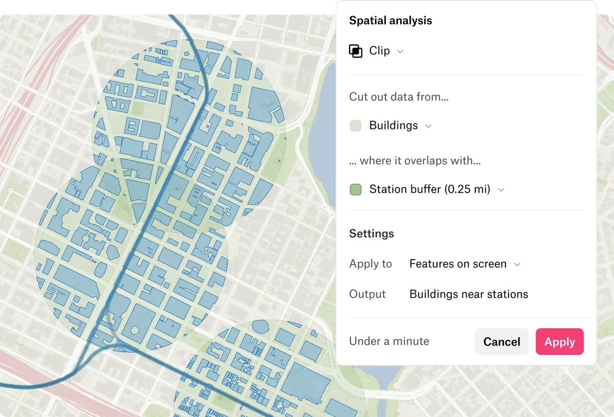
Answers, not just pins
Clip buildings to a quarter mile of each station, or count the customers within 10 miles of a store, and the answer lands on the map as a new layer. Felt AI can run it from a question.
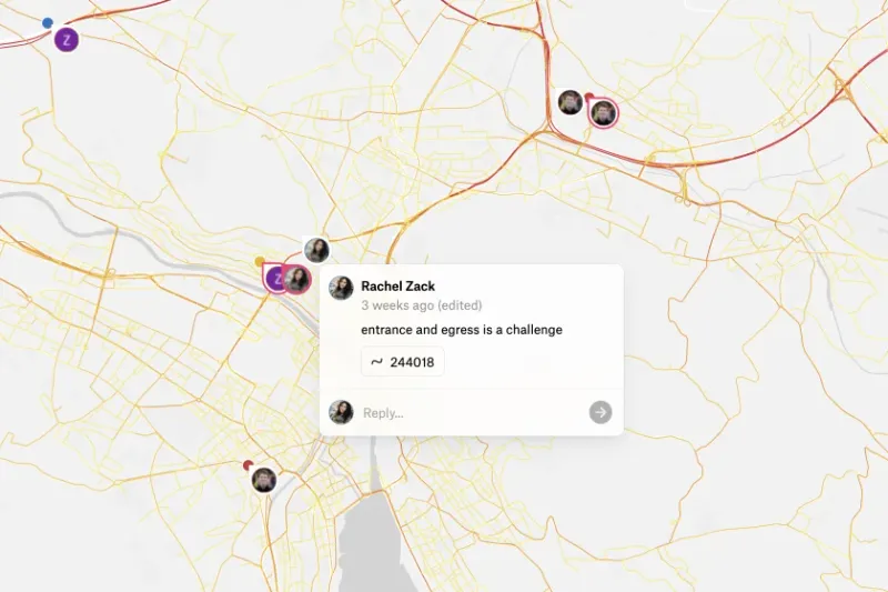
A map your whole team works on
Edit together, comment on the features you mean, and send clients a link that opens without a login.
What teams say about Felt

I find Felt the quickest and easiest way to have planners and analysts visualize data.

What was different about Felt is that I could use it right away.

The fact that you could go from spreadsheet to map in minutes with Felt stood out to me right away.
Common questions
- 01Can I bring my My Maps map into Felt?
Yes. Paste its share link into Felt and each layer comes in, ready to style. Felt can refresh it when the original changes.
- 02Can I put a spreadsheet on the map?
Yes. Upload a CSV or Excel file, or link a Google Sheet. Felt geocodes addresses, up to 10,000 rows per file.
- 03Is Felt a good Google My Maps alternative?
Yes, once a map outgrows personal use. Google’s tools are built for personal maps, and Felt is built for maps a business runs on, with room for all your data, analysis and a team editing together.
More comparisons
Make the map your business runs on
Connect a database or drop in a file and see your data live on a map in minutes.