The faster way from data to decisions, with or without ArcGIS
Felt takes a team from raw data to shared maps and dashboards in days, without a GIS specialist. Switch from ArcGIS outright, or connect your ArcGIS services and move one team at a time.
How Felt and ArcGIS Online compare
| Felt | ArcGIS Online | |
|---|---|---|
| Who makes maps | Anyone on the team, in a browser. Felt AI can do the clicking. | Creators in Map Viewer and Experience Builder. Deeper analysis in ArcGIS Pro, a Windows app. |
| Working on one map | Several people edit at once and comment on features. | The owner saves and shares the map, and others edit its layers. |
| Large datasets | Files up to 100 GB, tiled once so millions of features stay fast. | Hosted feature layers, at 2.4 credits per 10 MB each month. |
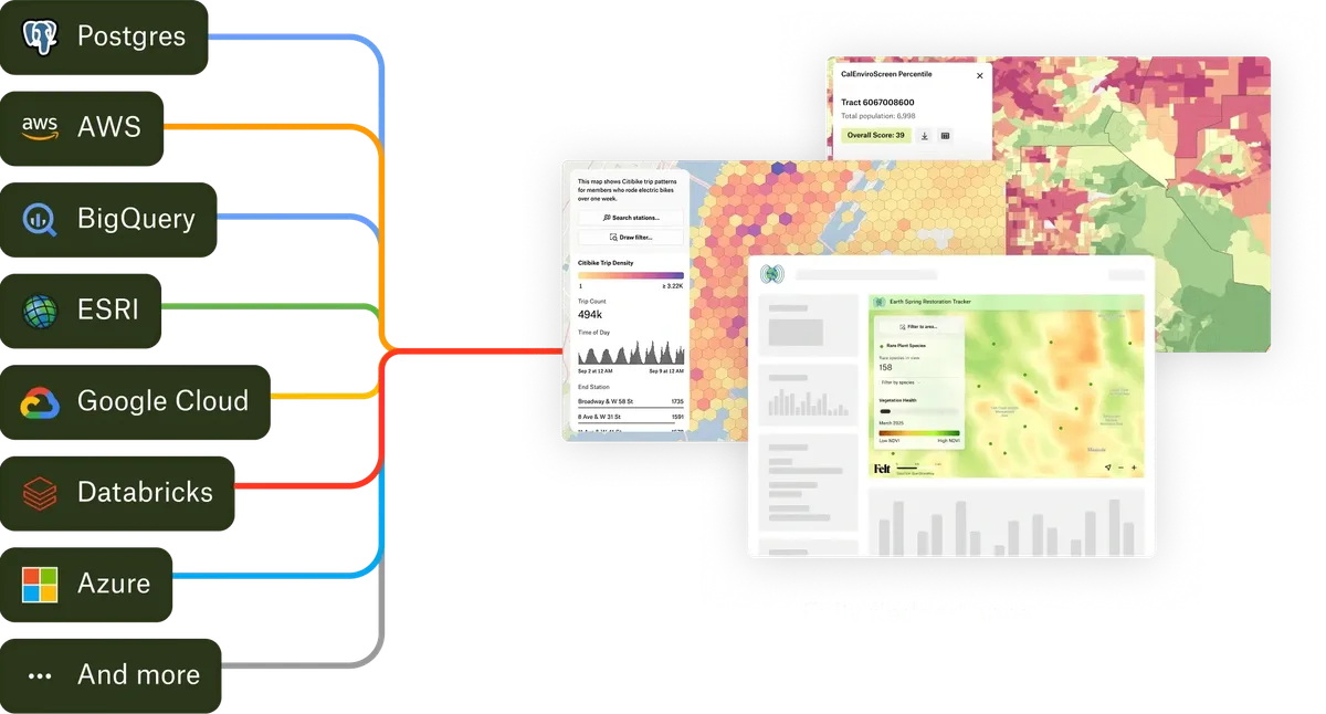
| Cloud data warehouses | Snowflake, Databricks, BigQuery, Redshift, SQL Server and Postgres, refreshed on a schedule. | Data Pipelines imports from Snowflake and BigQuery, using credits for each run. |
| Field data | The Felt Field App, with forms, photos and offline maps. | Field Maps and Survey123, with repeating question groups. |
| Analysis | Spatial operations, SQL and raster analysis in the browser, in 2D. | Map Viewer tools, and a much larger toolbox in ArcGIS Pro, including 3D. |
| Sharing | Send a link. Viewer accounts are free, and access is set on each map. | Items are shared with groups that can overlap. Each named user has a user type, including Viewers. |
| AI | Felt AI analyzes, styles and builds dashboards from a request, on every paid plan. See what Felt AI can do → | Assistants in beta for Arcade, notebook code and documentation questions. |
| Ready-made data | The Global Library, plus any public ArcGIS service by its URL. | ArcGIS Living Atlas of the World, Esri’s large catalog. |
What this page says about ArcGIS Online was checked against Esri’s documentation on October 5, 2026: user types, credits, ArcGIS Pro system requirements, Data Pipelines, sharing, AI assistants, Survey123 repeats.
Where each one fits
Switch now, or one team at a time
Smaller teams often switch in one go. Larger ones start with the people ArcGIS isn’t reaching. Either way, Felt works with your Esri data from day one.
- Add any FeatureServer, MapServer or ImageServer by its URL, including secured ones with an ArcGIS API key.
- Turn on Live and the layer refreshes on a schedule.
- Upload file geodatabases, Shapefiles, and layer and map packages.
- Export to GeoPackage or Shapefile when work goes back into ArcGIS Pro.
Keep ArcGIS for the work only ArcGIS does
Many customers keep an Esri license for their GIS specialists and use Felt to reach everyone else.
- 3D scenes and story maps. Felt maps are 2D.
- Specialized geoprocessing in ArcGIS Pro and its extensions.
- Survey123 forms with repeating sections and validation rules.
- Living Atlas content that’s only available to ArcGIS subscribers.
Why teams add Felt or move to it
From field data to a decision in a day
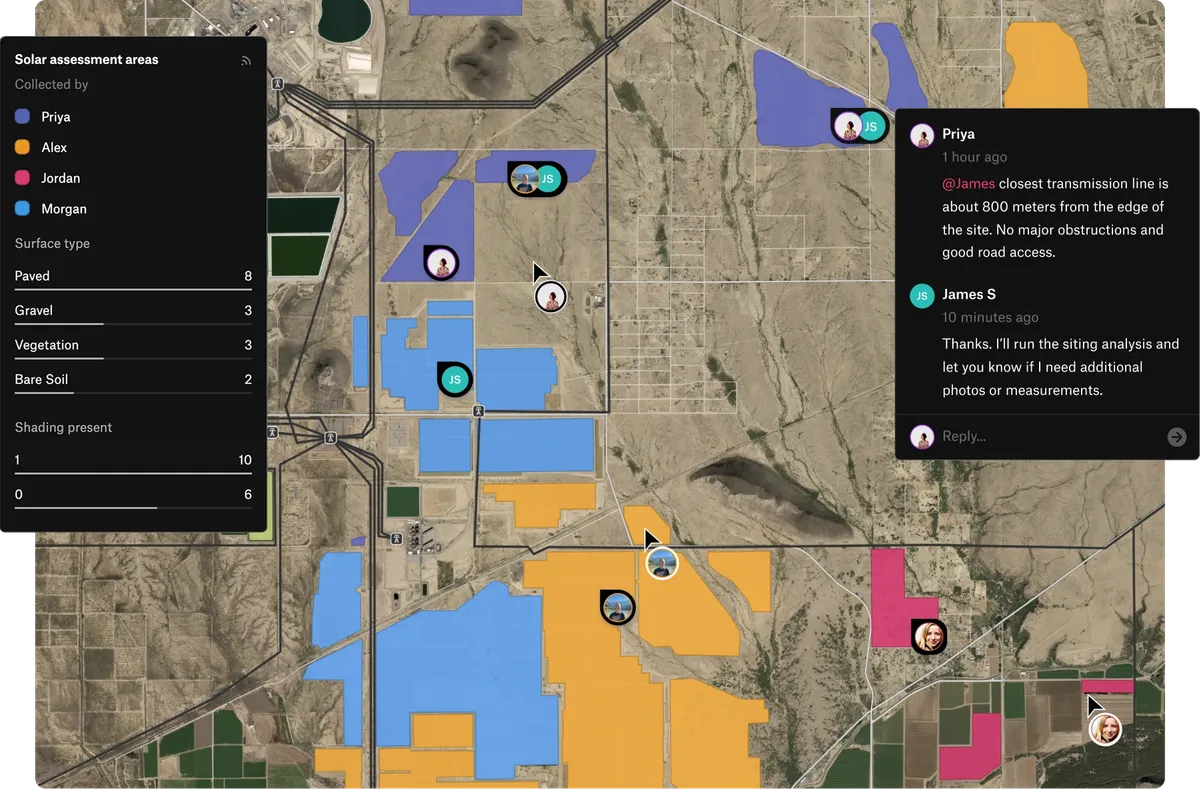
Collect on the Felt Field App, analyze on the same map, and share a dashboard the same day, with no development project.
No GIS team required
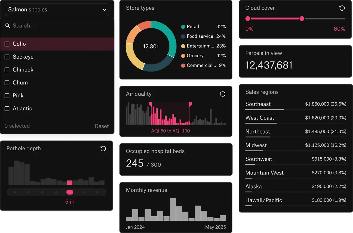
Analysts, planners and managers build their own maps, dashboards and apps. The Commons built in a day what would have taken weeks of development.
Fast with the data you actually have
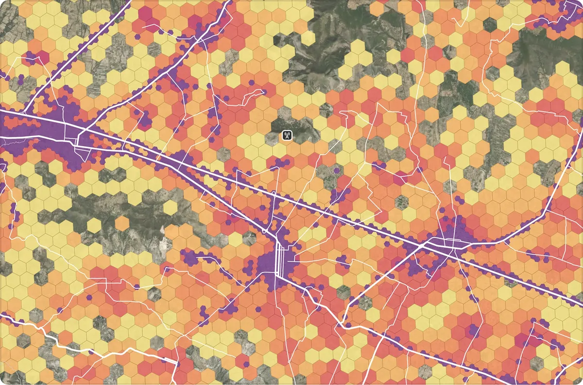
Felt tiles every upload once, so layers with millions of features stay quick for everyone with the map open.
From teams that moved to Felt

What was different about Felt is that I could use it right away.

Felt AI has dramatically accelerated time to iterate and refine from a prototype to a finished product.

For anyone needing to deliver mapping products quickly, I’d be hard-pressed to recommend anything else.
Common questions
- 01Is Felt a good alternative to ArcGIS Online?
For many teams, yes. Felt covers web maps, analysis, dashboards, sharing and field data. Teams that need heavy desktop analysis pair it with QGIS or a few ArcGIS Pro licenses.
- 02Why add Felt when we already pay for Esri?
Because many of the people who need your maps aren’t in ArcGIS. Felt puts your Esri data in front of them in a browser, with free viewer accounts and dashboards they use without training.
- 03Is Felt easier to learn than ArcGIS?
Yes. Felt is built for people without a GIS background. Viewers use a map from a link, and Felt AI can do the clicking for new editors.
- 04How does the Felt Field App compare to Survey123 and Field Maps?
It covers forms, photos, GPS capture and offline maps, and edits reach the office map as they sync.
- 05Can Felt replace ArcGIS Dashboards and Experience Builder apps?
For most map dashboards, yes. Dashboard components add filters, charts and statistics, and Felt AI builds custom tools as extensions.
More comparisons
Put your ArcGIS data in front of everyone who needs it
Connect a database or drop in a file and see your data live on a map in minutes.