QGIS for the analysis, Felt for everyone who needs to see it
QGIS is free desktop GIS with deep analysis and cartography. Felt puts that work on the web, where colleagues and clients open it in a browser and edit it together. The Add to Felt plugin brings your layers and styles over.
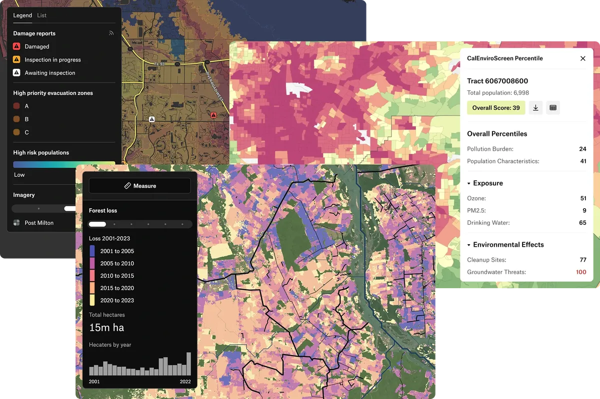
How Felt and QGIS compare
| Felt | QGIS | |
|---|---|---|
| Where it runs | A browser, on any computer, tablet or phone. | A free desktop app for Windows, macOS and Linux. |
| Sharing with people outside GIS | Send a link. Viewers and commenters don’t need a seat. | Export images and PDFs, or publish through QGIS Server. |
| Working on one map | Several people edit at once and comment on features. | Each person works in their own copy of the project. |
| Analysis | Spatial operations, SQL and raster analysis in the browser. | The Processing Toolbox, with GDAL, about 200 GRASS modules and more than 2,000 plugins. |
| Cartography and print | Data-driven styles, custom icons, print layouts and PDF export. | Print layouts and atlases with a page for each feature. |
| 3D | 2D maps, with terrain and hillshade for relief. | 3D views of terrain and data. |
| Cloud data | Warehouses and Postgres, refreshed on a schedule. | PostGIS and other databases, from the desktop. |
| Field data | The Felt Field App, with forms, photos and offline maps. | Third-party apps such as QField and Mergin Maps. |
What this page says about QGIS was checked against QGIS’s documentation on October 5, 2026: QGIS overview, processing providers, GRASS integration, print layouts, 3D map view.
Where each one fits
Publish from QGIS with the Add to Felt plugin
The free Add to Felt plugin publishes a project or a single layer to a Felt map.
- Send every visible layer to a new or existing map, or one layer at a time.
- Categorized, graduated, rule-based and heatmap styles carry over, with many label settings.
- Vector, raster and XYZ tile layers are supported.
- Export back to GeoPackage, which QGIS reads natively.
Keep QGIS for deep desktop work
Many teams analyze in QGIS and share the results in Felt. The two are built to work together.
- Processing models and algorithms from GDAL, GRASS and the plugin ecosystem.
- Print atlases and publication cartography.
- 3D views of terrain and data.
- Work on your own machine, with no account or license fee.
Why QGIS users add Felt
A link instead of a PDF
Clients pan, filter and click into the map, and see each update as soon as you make it.
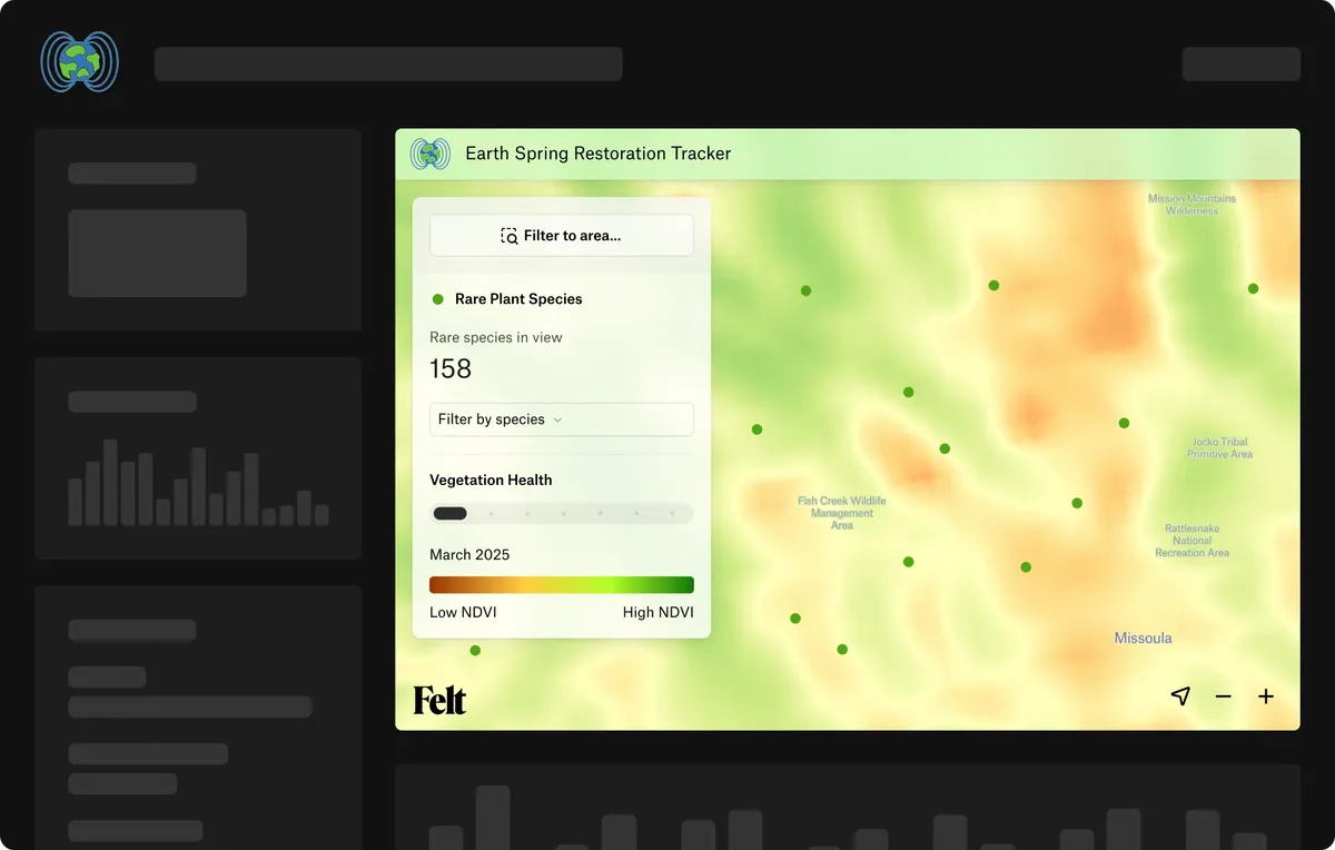
Everyone works on the same map
Planners, engineers and project managers edit and comment on one map, so nobody works from an old copy.
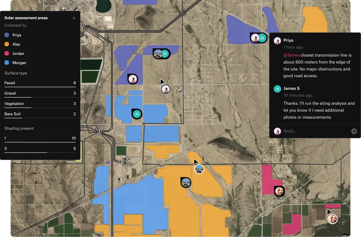
Data that stays current
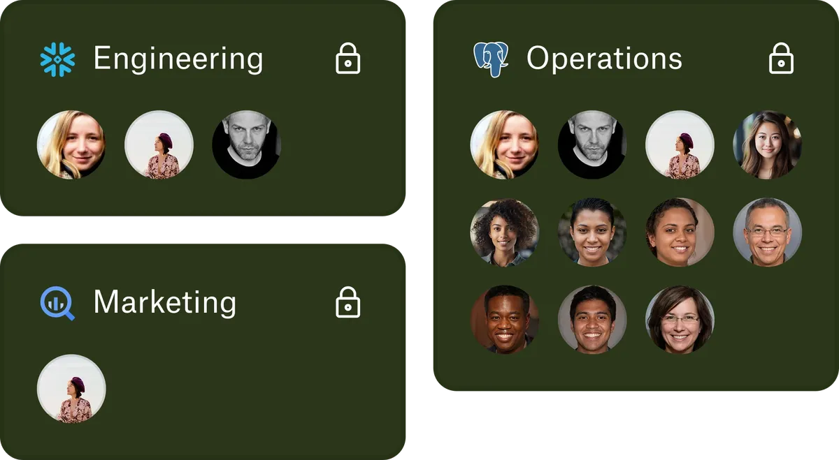
Connect a warehouse or a bucket once, give each team access to its own sources, and Felt refreshes the layers on a schedule.
From teams that started in QGIS

I like Felt because it’s not that hard for someone like me to use (non-QGIS expert).

When we launched the internal feature with QGIS, it was immediately clear it would not scale – we needed to move faster.

Felt saved my team months of work visualizing data.
Common questions
- 01Is Felt a QGIS alternative?
For sharing and web maps, yes: colleagues and clients open Felt in a browser with nothing to install. For deep desktop analysis, many teams keep QGIS and publish to Felt with the plugin.
- 02Can QGIS and Felt together replace an Esri setup?
For many teams, yes. QGIS covers desktop analysis and cartography, and Felt covers web maps, dashboards, sharing and field data, the work ArcGIS Online does in an Esri setup.
- 03Does QGIS symbology carry over to Felt?
Most of it. Categorized, graduated, rule-based and heatmap styles carry over. A raster style Felt can’t convert arrives as a styled image, so it looks the same.
- 04Is Felt easier than QGIS for people without GIS skills?
Yes. Viewers use a map from a link without training, and Felt AI can do the clicking for new editors.
More comparisons
Put your QGIS work in front of everyone who needs it
Connect a database or drop in a file and see your data live on a map in minutes.