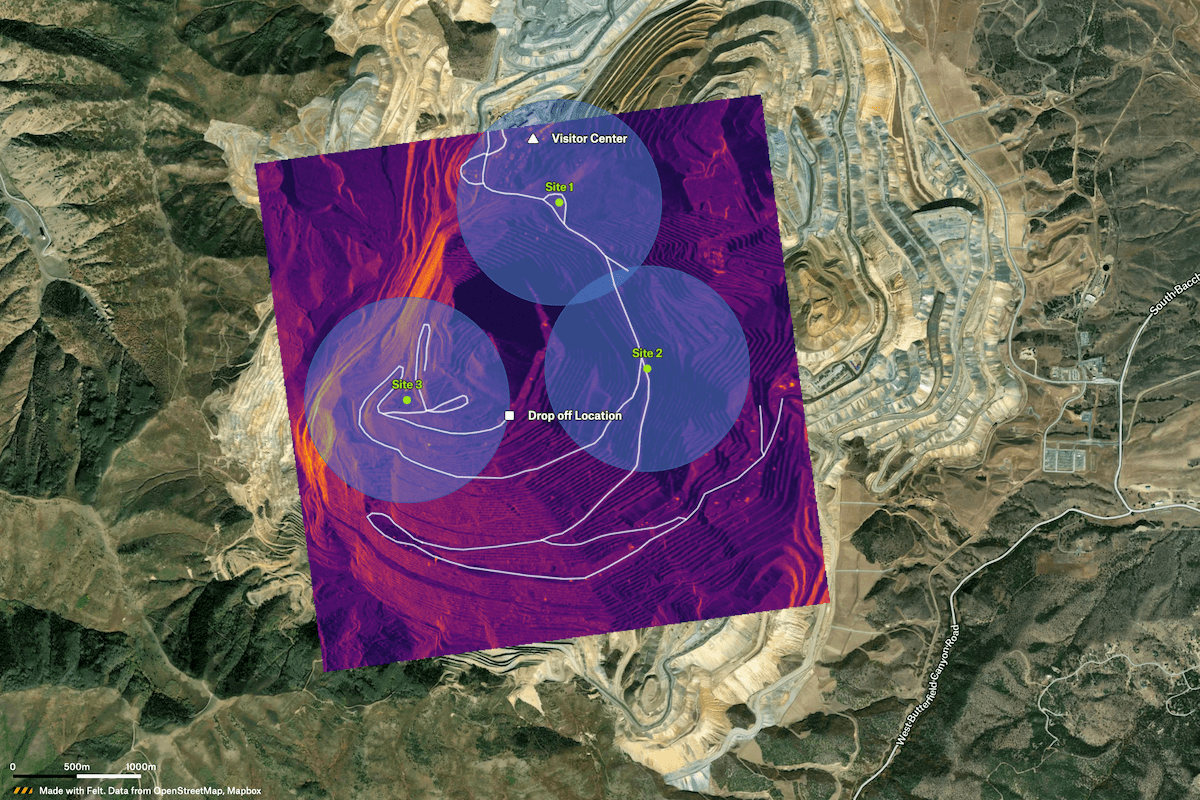
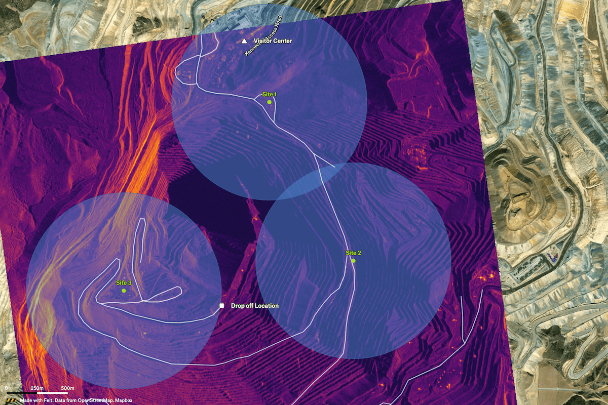
For mining operations in challenging terrain, this example map showcases a resource staging plan with Umbra SAR (satellite) imagery, local road routing, and powerful transformations in Felt like Buffer to create detailed visualizations of the staging sites.


