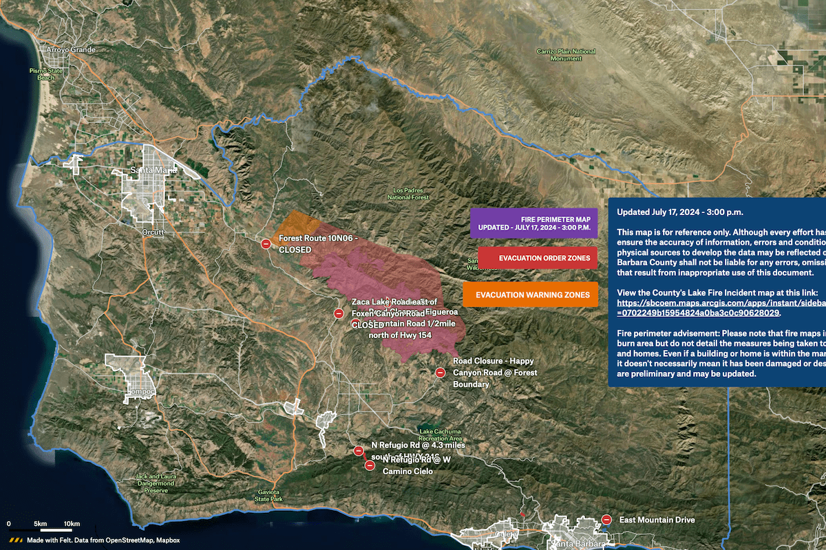
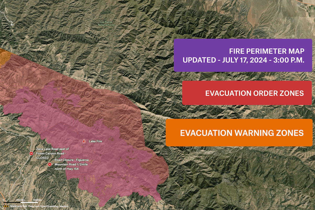
This interactive map, created by the Public Works department at Santa Barbara County, displays real-time road closure updates during emergency situations. It relays critical information to first responders and the public, 24 hours a day, via an embedded map on their website. Updates are published in under 5 minutes compared to the previous 30-minute process. During the February 2024 storms, the map proved invaluable, garnering over 15,000 views in a week and serving as a crucial tool for emergency response. Read the full story on our blog.


