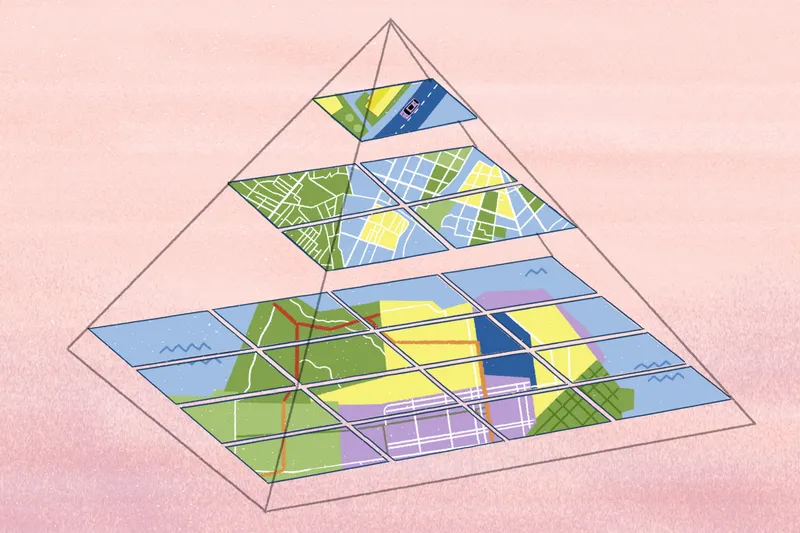
How topology GIS data can improve your mapping work
Discover how topology in GIS ensures data consistency, prevents errors, and improves reliable analysis across your spatial workflow.
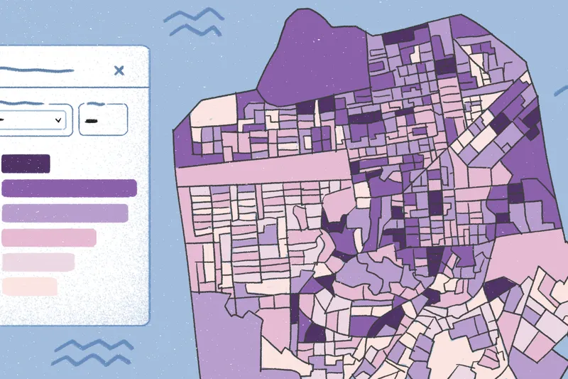
4 Best practices to conduct a real estate investment analysis
Learn real estate investment analysis with cash flow formulas and GIS mapping to help teams make smarter, data-driven decisions.

Proportional symbol maps: What they are and how to make one
Learn what proportional symbol maps are, when to use them, and how to create one with Felt to study data at a glance.
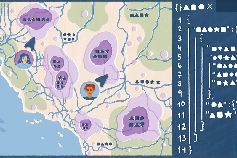
5G location-based services: Definition and use cases
Discover how 5G location-based services work, with real-world use cases showing how they improve operations across industries.

Real estate market research guide: Metrics, analysis, and predictions
Explore how to conduct effective real estate market research, analyze trends, and assess opportunities to make informed property investment decisions.

Exploring the 4 top telecom analytics use cases
Discover how telecom companies use data analytics to improve operations and unlock revenue opportunities through use cases and visualizations.
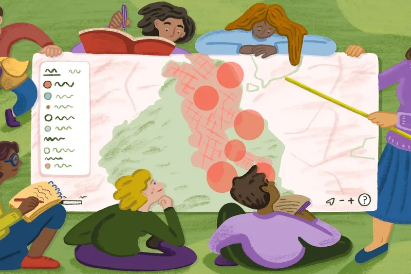
The best alternative to Google Maps drawing tools
Skip Google Maps drawing tools and use Felt’s markers, lines, polygons, and layers to build collaborative, interactive maps fast.

The ultimate game plan for construction tracking
Track construction progress with key steps and top software options. Learn how Field App helps teams manage timelines, workflows, and milestones.
Find inspiration with 10 interactive map examples
Explore interactive map examples across industries and learn how to turn geographic data into engaging visual stories with Felt.

9 free mapping tools for exploring geospatial data
Discover free mapping tools to visualize data, collaborate with teammates, and uncover insights. Compare options and find the best tool for your team.

Top geospatial companies around the globe
Explore the top geospatial companies shaping the future of location technology, with key services and use cases to help you choose the right tool.

A practical guide to site selection
Learn what site selection is, why it matters, and how to choose the best location using proven criteria, with examples from real estate and retail.
Bring your data, see it on the map
Connect a database or drop in a file and see your data live on a map in minutes.