
KML vs. KMZ: The key differences explained and when to use each
KML vs. KMZ explained: understand key differences, use cases, and how each format supports data sharing in modern web GIS workflows.
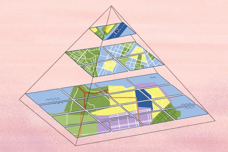
Explore soil mapping: Soil surveys, map types, and practical applications
Explore soil mapping, interactive surveys, and real-world applications. Learn how soil data supports land planning and deeper GIS analysis.

Google Earth alternatives: Top picks for advanced mapping
Explore top Google Earth alternatives for satellite imagery, spatial analysis, and collaboration. Compare features to find the right tool for your team.

5 best geocoding software to turn addresses into insights
Compare top geocoding software tools, explore key features, and find the right platform to support your mapping workflows and location data needs.

Forestry surveys: A hands-on guide to analyzing data
Discover how forestry surveys measure forest resources, support management, and guide land use and conservation through different survey types.
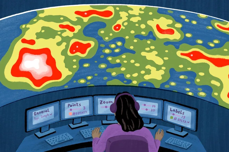
Heat map generators: Tools, features, and considerations
Discover heat map generators, explore different types and data compatibility, and find the right tool to match your workflow and mapping needs.

Create your own isochrone map with these 9 platforms
Compare the best isochrone map generators to measure distance accurately, visualize geospatial data, and factor in real-world conditions with Felt.

Why use hexagonal grids? 7 use cases and benefits
Explore how hexagonal grids work, their real-world applications across industries, and practical interactive mapping examples built in Felt.

The 9 best sales territory mapping software tools
Explore the best sales territory mapping software to plan smarter, manage teams, and turn location data into revenue-driving insights.

What’s geo-mapping? 5 tools to visualize your data
Explore geo-mapping tools and GIS software to visualize location data, compare top platforms, and build interactive maps with Felt.
Hotspot analysis: How to identify meaningful data clusters
Hotspot analysis helps identify meaningful spatial clusters, separating real patterns from noise to support smarter, data-driven decisions.
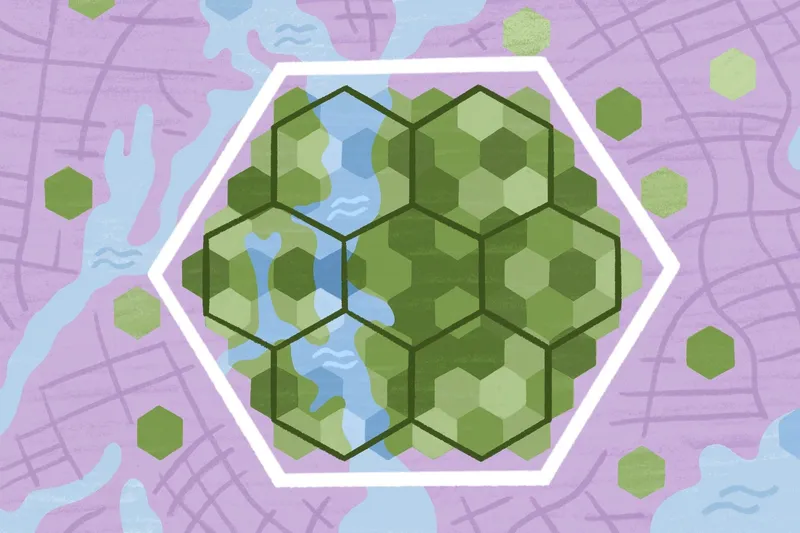
What is H3 and how does it work in geospatial analysis
Learn what H3 is, how hexagonal spatial indexing works, and why it powers modern geospatial analysis and large-scale spatial data workflows.
Bring your data, see it on the map
Connect a database or drop in a file and see your data live on a map in minutes.