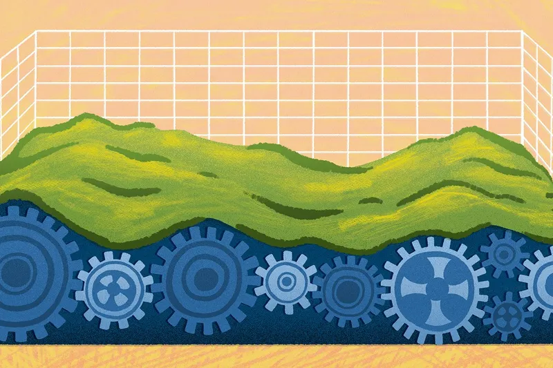
What’s a geospatial database? Practical guide on types and use cases
Explore what a geospatial database is, how it manages location data, how teams use mapping today, and what’s next for spatial technology.
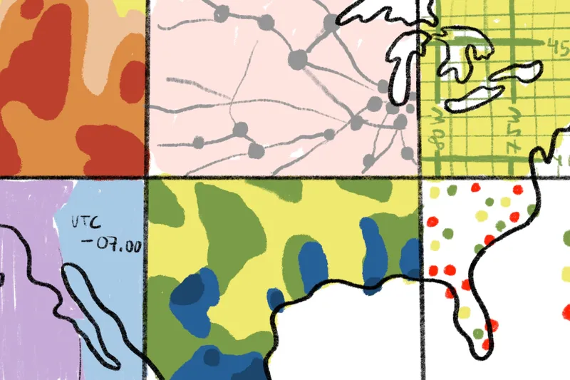
How geographically weighted regression (GWR) works
Discover geographically weighted regression (GWR) and how Felt AI transforms complex spatial models into collaborative visual insights.
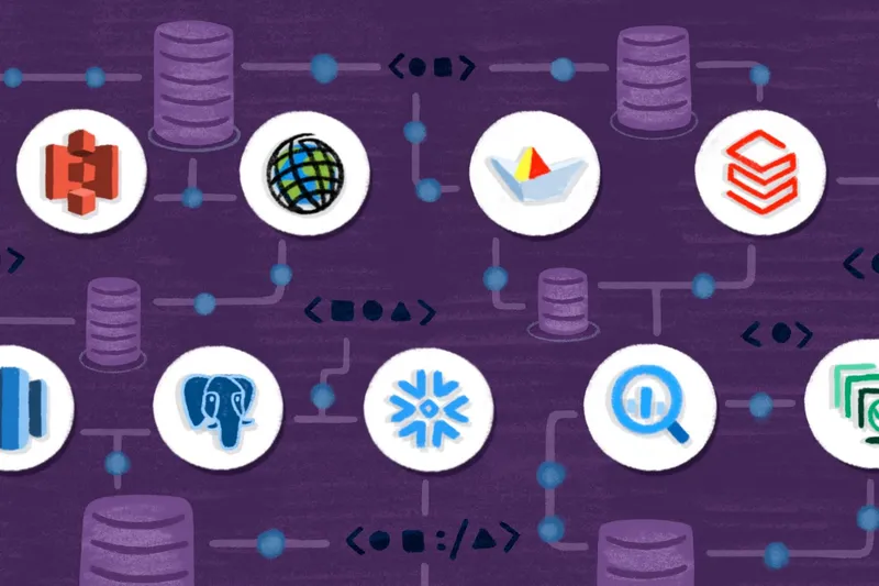
Choosing the right mapping stack for modern web and GIS apps
Mapbox vs Google Maps: compare features, pricing, and use cases to choose the right mapping API, and see how Felt supports collaborative maps.
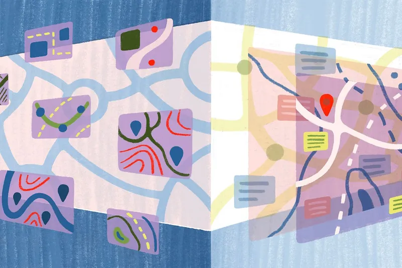
Logistics route planning: Tips for faster, fairer, and more fuel-efficient decisions
Discover how Felt improves logistics route planning using collaborative maps to create faster, fairer, and more fuel-efficient delivery routes.
What’s GeoAI? How AI enhances GIS and geospatial data analytics
Explore the fundamentals of GeoAI, where AI and GIS combine to analyze spatial data, detect patterns, and deliver actionable geospatial insights.

Road surveying: Key concepts, roles, and applications
Road surveying turns terrain into data. See how Felt creates clear, collaborative maps from survey data to support smarter building decisions.
The importance of cartography: Top 9 use cases
Learn the importance of cartography, common cartographer duties, real-world examples, and how Felt makes creating interactive maps easy for teams.
Construction site inspections: From field data to insights
Learn what construction site inspections are, when they occur, essential elements to review, and how Felt enhances field data collection workflows AI
Fleet optimization: Definition, metrics, and key strategies
Learn fleet optimization strategies to reduce idle time, fuel costs, and delays, with key metrics and tips to improve fleet efficiency.
What is supply chain network design? Definition and best practices
Explore how supply chain network design improves logistics, cuts costs, and boosts efficiency. Learn best practices and tools.
QGIS vs. ArcGIS vs. Felt: A comparison for modern GIS workflows
Compare QGIS, ArcGIS, and Felt across features, workflows, and strengths to find the GIS platform that best fits your project and team needs.
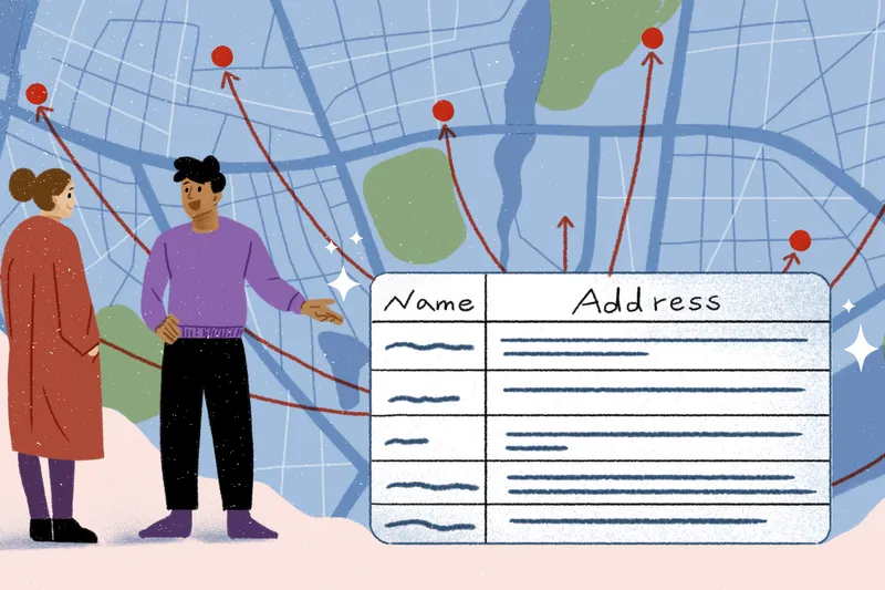
What is field data collection? Methods and use cases
Discover what field data collection is, key methods, and how teams across industries use collected data to make smarter decisions.
Bring your data, see it on the map
Connect a database or drop in a file and see your data live on a map in minutes.