
Add maps to Power BI reports & dashboards with Felt
Felt makes it easy to access spatial insights within your Power BI dashboard and reports.

Announcing regional hosting & enterprise-grade data management
Explore Felt’s five new data hosting regions and enterprise-grade data management tools.

Simplicity meets power: Felt’s H3 spatial index support has arrived
The dynamic, automatic H3 visualization you’ve been waiting for has arrived.

Build Maps & Dashboards with Amazon Redshift: A Step by Step Guide
Connect Redshift directly to Felt to map your spatial datasets.

Build Maps & Dashboards with BigQuery: A Step-by-Step Guide
Connect BigQuery with Felt for instant maps and performant data dashboards.

Build Maps & Dashboards with Databricks: A Step-by-Step Guide
Connect Databricks directly with Felt for instant maps and performant data dashboards.

Build Maps & Dashboards with Snowflake: A Step-by-Step Guide
Connect Snowflake directly with Felt for instant maps and performant data dashboards.

Build Maps & Dashboards with PostGIS (PostgreSQL Extension): A Step-by-Step Guide
Connect your PostGIS database directly to Felt to map your location data.
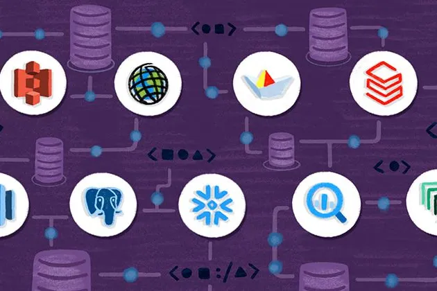
Webinar series: building a modern GIS stack with Felt’s native database integrations
Learn how to natively connect your database and instantly visualize all your spatial datasets with Felt.
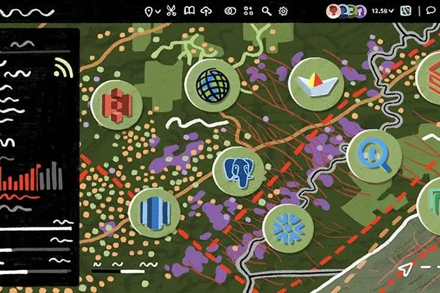
Felt 3.0: Apps and dashboards powered by native Postgres & Snowflake integrations
Introducing Felt 3.0–apps, databases, and dashboards for your entire organization.

Exploring the power of Felt’s API: highlights from our internal Hackathon
Whether it’s real-time data integration, interactive gaming, or advanced geospatial analysis, the possibilities are endless with Felt’s API.

Integrate and automate: power your apps with Felt’s API and Python SDK
Setting up a custom geospatial app shouldn’t take a dedicated development team, and years of effort.
Bring your data, see it on the map
Connect a database or drop in a file and see your data live on a map in minutes.