
Better together — our ongoing commitment to QGIS
QGIS users can perform detailed spatial analysis and then seamlessly share their findings through Felt.
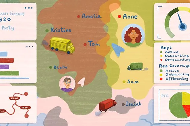
Case Study: How Sharetown tackles logistics with Felt
Sharetown, a logistics company specializing in large & bulky item returns, uses Felt to manage orders across the U.S.
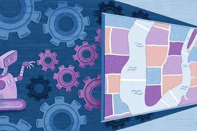
Cartography Tips for Designing Web Maps
Making maps that are visually appealing and informative shouldn’t require specialized cartographic expertise or a deep understanding of design principles.
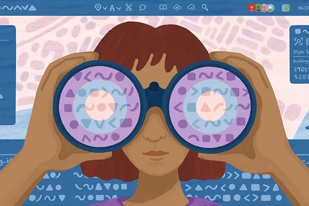
Search, filter, select — data discovery done right
Bringing users the fastest, most streamlined data discovery experience on the internet.

Getting the most out of Felt’s new Workspaces
Our new Workspace design is packed with features that make collaboration feel even more seamless.
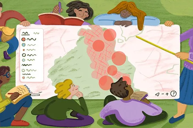
Teaching Spatial Analysis with Felt
Get inspired for the new semester: Felt cartographer Mamata Akella put together a sample exercise for educators who want to teach their students to think spatially.
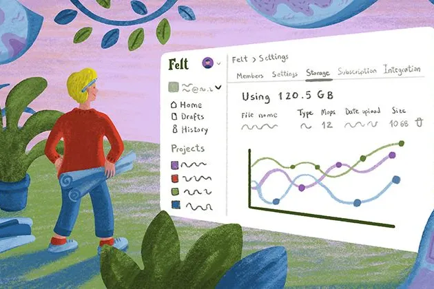
Powerful new admin tools and a streamlined billing experience
Ready for a new year of map-making with improved organization, management dashboards and a straightforward billing flow.
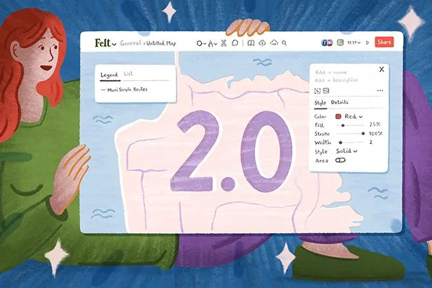
Three key UI upgrades in Felt 2.0
Our release of Felt 2.0 included powerful new spatial analysis tools along a streamlined UI. Here’s a quick review of the UI upgrades we packed in for users.
Announcing Felt 2.0 — a better way to work with maps
Introducing Felt 2.0, a new chapter in our mission to make mapping effortless for everyone.
How Tippecanoe makes Felt’s polygons look good, part 2: preventing shard gaps
Learn how to make polygons look as good as possible in Tippecanoe.
SOC 2 certified: Felt’s enterprise-grade security infrastructure
Felt has always followed rigorous industry best practices to keep your data safe an secure. Today, we’re announcing a huge milestone: We’re SOC 2 compliant.
How Tippecanoe makes Felt’s polygons look good, part 1: choosing good label points
Learn how to quickly choose good label points for polygons with Erica Fischer & Tippecanoe.
Bring your data, see it on the map
Connect a database or drop in a file and see your data live on a map in minutes.