
Mapscaping podcast: an interview with Felt’s CEO
In this episode of Mapscaping, Felt’s CEO shares how we are building the best place to make maps on the internet, and why a new way is necessary.
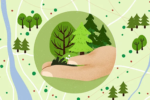
Mapping protected territories: Westchester Land Trust case study
Land protection is one way to combat climate change. The Westchester Land Trust is making a big impact in New York State and using Felt to tell their story.
Felt becomes first flagship sustaining member of QGIS
Felt users are QGIS users. We are thrilled to be the first flagship sustaining member of QGIS!

Felt reaches 1.0, now ready for teams
Felt has always been the best way to work with maps on the internet. Today we are announcing a huge milestone: we are no longer in beta.
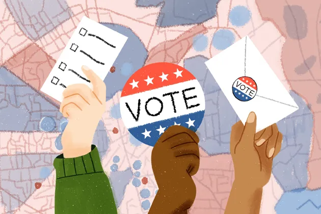
How Nonprofits are collaborating on Felt to get out the vote
Nonprofit visual communications expert Evan O’Neil shares how he is using Felt for civic engagement & and advocacy to build a more equitable Houston this election.
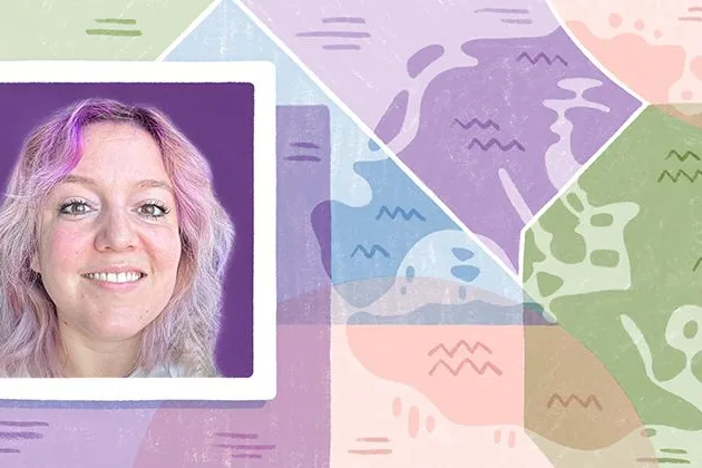
Learning from history: why we should study old maps
Associate Director at GreenInfo Network Vanessa Knoppke-Wetzel on historical maps, Halloween, and mapping for good.
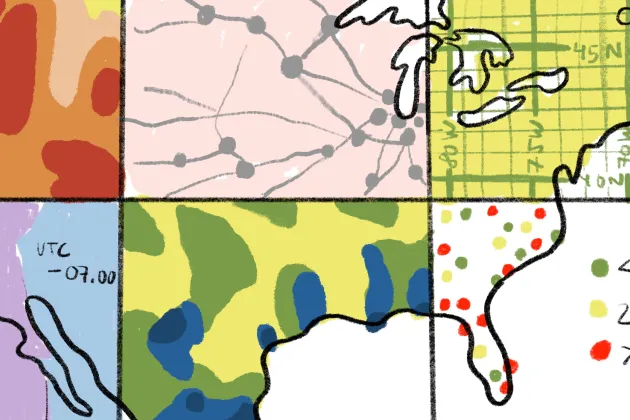
Felt Style Language: a powerful new mapping grammar
"...we wanted to build something that enabled our users to stay focused on the powerful story they are telling, without getting lost in code complexity."
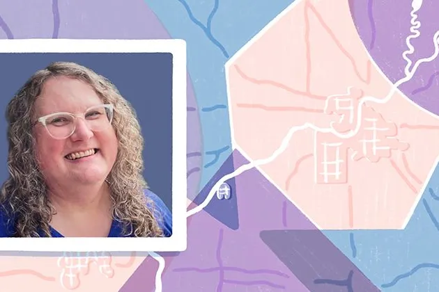
A new home for Tippecanoe and Erica, too
"...it is wonderful that [Tippecanoe] has become important enough to Felt that I can continue my work on it, because there is lots more to be done." - Erica Fischer

Making maps for the San Antonio Spurs
"When it comes to shot maps and data visualization for the Spurs–I’m proud of everything I make."
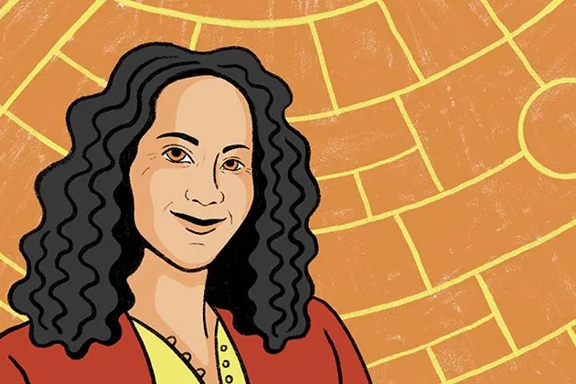
The forefront of diplomacy: making maps at the State Department
We sat down with Brooke Marston to understand what it’s like to work at the nexus of intelligence and diplomacy.
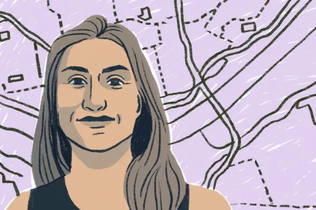
The evolution of map making at National Geographic
For the last decade, Rosemary Wardley has been making maps for National Geographic and accidentally becoming a map-making historian.
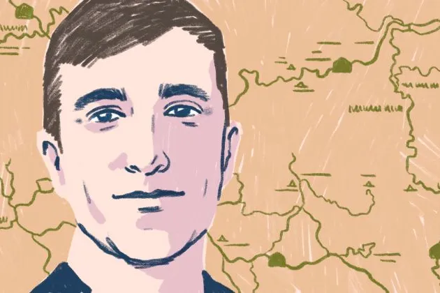
Transforming our National Park maps: a conversation with Nate Irwin
Nate Irwin’s team made our National Parks Service maps digital, transforming the visitor experience for over quarter million annual visitors.
Bring your data, see it on the map
Connect a database or drop in a file and see your data live on a map in minutes.