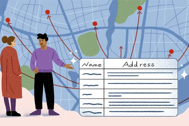
New in Felt: Geocoding, Geomatching, and Choropleths
Supercharging our uploads: we are stoked to share new features that allow you rapidly visualize and style your data.

Creating UI delight: dynamically rotating mouse cursors
Felt is constantly searching for ways to enhance the user experience & create a sense of delight for our users. Take a look at what that means for the humble cursor.
December spotlight: 10 best Felt Community maps
Here is how Felts were putting maps to use during this holiday season — from outlining Santa’s route around the world to analyzing NYC bike accidents data.

Felt for educators: best strategies to keep students engaged
Maps are a wonderful way to understand our world. Here is how Felt makes it easy to create and share beautiful interactive maps.
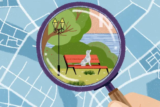
How we make your data look great at every scale with Tippecanoe
Felt doesn’t require users to tell us anything about the data being uploaded – here are some tools we use to get the display right across different scales.
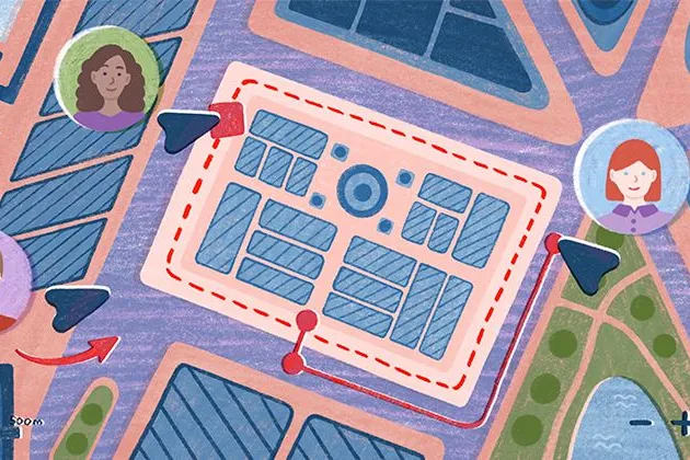
Make your maps shine with powerful background and styling controls
Unlock Felt for professional use: add your organization’s basemaps, select styles to make your data shine, and export to PNG or PDF to bring your reports to life.
November spotlight: 10 best Felt Community maps
Felts have been busy putting maps to use – from debunking the myth of the Bermuda Triangle to making safe cycling easier in Oakland, CA.
Rate limiting algorithms for client-facing web apps
A lot of ink has been spilled on the topic of building rate limiting into API-based products, but client-facing apps have different needs. Here are some tips.
October spotlight: best Halloween Community maps
Our judges Mamata Akella and Vanessa Knoppke-Wetzel determined the winners — check out their outstanding maps!
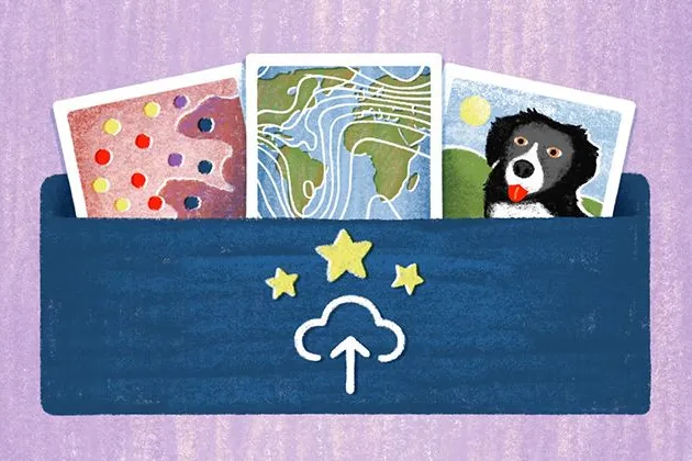
Upload Anything: how we revolutionized data upload
We launched Upload Anything to enable our users to bring any file format into Felt and see it magically "just work." Here’s why it’s revolutionary.
September spotlight: 10 best Felt Community maps
Introducing our new monthly community spotlight — we’re excited to celebrate our users who create impressive maps!
10 maps that push the boundaries: fire progression, Colorado River basin & more
With our game-changing data launch, the possibilities of what Felt is capable of exploded. Here are just a few examples of what is now possible on the platform.
Bring your data, see it on the map
Connect a database or drop in a file and see your data live on a map in minutes.