Understanding GIS in remote sensing: Concepts, techniques, and applications
High above the Earth, satellites, specialized aircraft, and radar systems capture streams of information that create detailed images of the surface below. This data reveals patterns and changes that are difficult to see clearly from the ground, like how pests impact vegetation or snow cover changes across elevation zones.
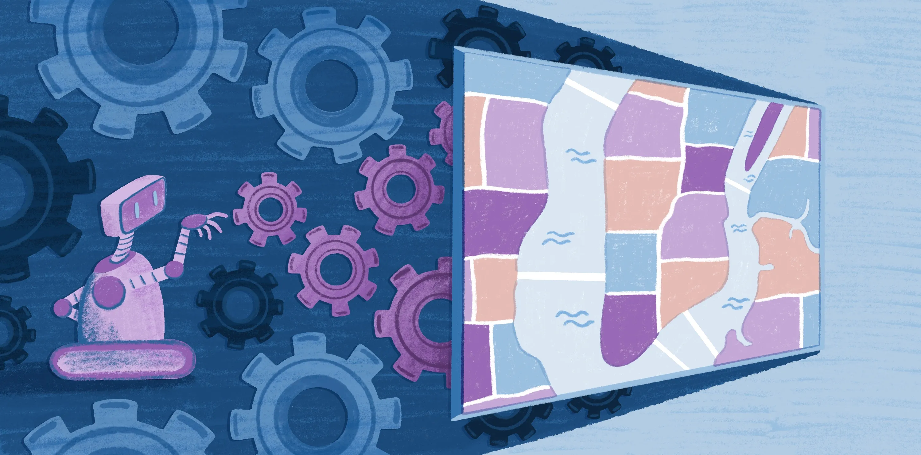
Remote sensing imagery used to belong to niche scientific studies requiring highly technical tools. Now, geographic information systems (GIS) and remote sensing platforms make this data accessible for everyday geospatial analysis. These tools organize imagery, track changes, and interpret what sensors record.
In this article, we’ll take a closer look at how remote sensing GIS works — from the way sensors capture information to the real-world challenges this software helps solve. We’ll also show you how Felt can answer your team’s biggest geospatial challenges.
What’s remote sensing in geography, mapping, and GIS?
Remote sensing captures information about Earth through satellite imaging, airborne sensors, and radar. GIS is the system that organizes and analyzes spatial information, allowing teams to zoom out and compare, map, and contextualize imagery. It transforms raw satellite data into layers that support teams across various sectors, such as urban planning and environmental monitoring.
When combined, remote sensing tools and GIS create a complete pipeline: Sensors record spectral and spatial data, and GIS provides the structure to interpret observations and apply them to real-world challenges. For example, remote sensing can detect declining soil moisture across a region, and GIS can highlight which irrigation districts need adjustments before agriculture starts to fail.
4 core components of remote sensing GIS
Platforms, instruments, and processing stages form the backbone of remote sensing workflows. Here’s how each helps move raw observations into usable information.
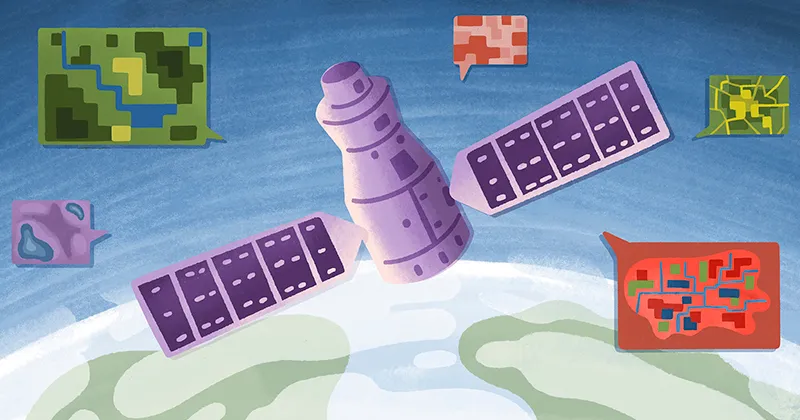
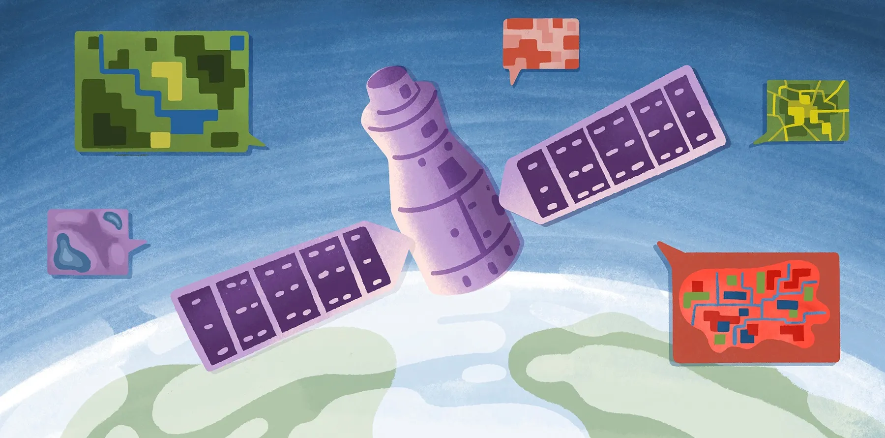
1. Platforms
Remote sensing platforms are the structures that carry data collection instruments. The three most common types are:
- Ground-based platforms: Towers, cranes, and vehicles collect detailed information from a close range but have limited coverage.
- Airborne platforms: Specialized aircraft and drones create high-resolution images over targeted areas but are often expensive and sensitive to weather conditions.
- Spaceborne platforms: Satellites and space shuttles provide global coverage of Earth’s surface but at a lower resolution.
2. Sensors
Sensors mounted on platforms measure Earth’s energy and convert it into spatial data. They fall into two main categories:
- Passive sensors: Radiometers and multispectral spectrometers measure electromagnetic radiation. They help scientists detect conditions ranging from vegetation health and soil conditions to surface temperatures and cloud properties.
- Active sensors: Radar and LiDAR systems send out their own signals capable of penetrating the Earth’s atmosphere. They’re typically used to measure forest canopies, rainfall and wind systems, and sea surfaces.
3. Data algorithms and processing
Raw remote imagery from satellites starts as grids of pixel values. Image-classification algorithms analyze and sort these pixels into meaningful categories — like vegetation, water, and buildings. These algorithms can operate automatically, or users can train them to group specific objects together for more accurate image processing.
Check out this webinar to learn how Felt supports satellite imagery.
4. Data formats and integration into GIS
After processing and classification, teams integrate remote sensing data into GIS layers. Teams combine satellite imagery with spatial boundaries, raster elevation models, and field observations to detect patterns and compare datasets.
With Felt’s raster infrastructure, you can stream, index, and visualize raster data within an interactive map without custom scripts and constant infrastructure upkeep. Learn more about how to integrate spatial analysis into your GIS system with this Felt tutorial.
Remote sensing techniques and data processing
Remote sensing offers a vast toolkit of methods, each suited to different geospatial challenges. Here’s a look at the common techniques, and how teams rely on them.
Multispectral imaging
Objects reflect and absorb energy at varied wavelengths, creating a spectral signature. Multispectral imaging captures a small set of these wavelengths, which is great for spotting broad patterns in vegetation, water, and land cover. It’s widely used to check crop stress and water quality.
Hyperspectral imaging
Hyperspectral imaging records hundreds of narrow wavelength bands across the electromagnetic spectrum. Each pixel contains a detailed spectral signature that reveals both physical and chemical properties of objects on Earth. This high-resolution data allows teams to detect subtle differences in mineral composition or nutrient deficiencies in crops.
Light detection and ranging
Need to build a 3D model of a specific area? Light detection and ranging (LiDAR) is regularly used by scientists to analyze natural and man-made environments. It uses light pulses via airborne lasers, scanners, and GPS receivers to build detailed models of the Earth’s shape, including land and seafloor elevations.
Integrating LiDAR data into a GIS workflow requires complex image processing. Felt simplifies this by allowing teams to layer, style, and analyze data visually, reducing technical overhead and enabling clearer, more collaborative spatial insights.
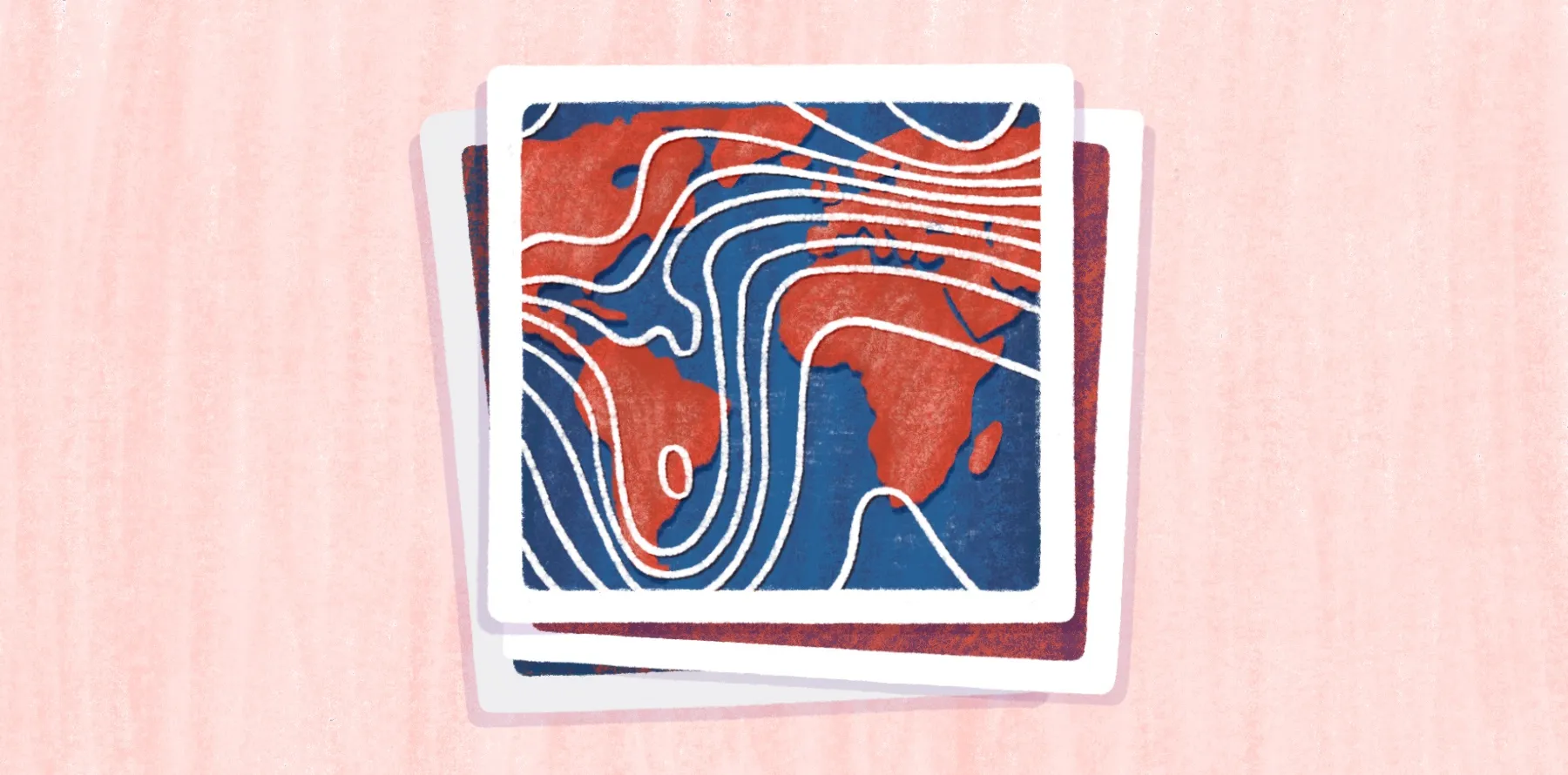
Synthetic aperture radar
Synthetic aperture radar (SAR) sends out microwave signals to examine the Earth’s surface. Since it doesn’t depend on sunlight, it can capture clear images regardless of cloud, smoke, or canopy cover. SAR delivers high-resolution images of moisture and surface texture, making it useful to analyze soil saturation and land movement. It’s used regularly to understand the impact of natural disasters, monitor vegetation, and map floods.
Aerial photography
Cameras mounted to drones, balloons, and other types of aircraft take detailed pictures from varied angles that satellite imagery isn't capable of capturing. It’s a go-to option when you need a close, accurate picture of a place rather than a broad view from space. Teams rely on aerial photography when they want to inspect specific areas, like a damaged powerline system following a storm or gradual changes at a construction zone.
Choose the right remote sensing techniques
Defining a goal determines the choice of sensors, whether that’s mapping radiation levels or changes in agriculture. Once you know what you want to measure, here’s how to find the right technique:
- Imagery needs: Choose sensors based on the level of detail you need. For instance, satellite imagery works well to study broad agriculture trends, while hyperspectral imagery works best to study detailed mineral composition and weed patterns.
- Platform and processing workflow: This will shape your preparation process, information flows, and most importantly, deadlines. For example, satellite imagery provides consistent, repeat coverage at lower resolution, whereas drones and aircraft provide one-time image studies at higher resolution.
- GIS integration: Make sure the data is compatible with your existing GIS software. The easier it is to integrate and analyze, the more accurate your spatial analysis and image classification will be.
- Imagery costs and access: Lots of remote sensing imagery is free and publicly available. This includes multispectral satellite information via NASA’s Landsat program and aerial photography from government programs like the National Agriculture Imagery Program. However, you’ll need to check that imagery is accurate, up-to-date, and in the correct resolution.
What are some applications of remote sensing data in GIS?
GIS transforms remote sensing imagery into a clear understanding of how landscapes and cities change over time. Here’s how it supports data visualization workflows across different industries.
- City planners: Use aerial photography to track construction, map new developments, and spot deteriorating infrastructure.
- Agriculture teams: Examine multispectral imagery to analyze crop stress and soil moisture.
- Forestry agencies: Use SAR to watch wildfires, detect pests, and observe land changes despite heavy canopies.
- Environmentalists: Transform hyperspectral data into studies that support sustainability initiatives related to wetland health, water quality, and land-cover change.
Whether it’s urban planning or environmental monitoring, Felt’s GIS software empowers teams to build interactive maps that integrate satellite imagery, sensor data, and GIS layers.
Explore remote sensing in action with Felt
Finding the right combination of sensors, imagery, and data processors is already a challenge. Handling and visualizing the actual data shouldn’t be.
With Felt, no image is too big. Our raster rendering engine connects to externally hosted Cloud-optimized GeoTIFFs, allowing you to integrate satellite imagery, LiDAR, and other remote sensing layers without heavy downloads and slow renders.
Once the data is in, Felt makes it easy to analyze remote sensing data like vegetation health (NDVI) or water indices to build actionable maps. Transform your remote sensing data into interactive maps with Felt today.
Compare Felt using AI


.jpg)